


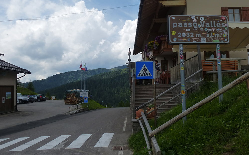
St. Kassian - Passo Valparola - Castello di Andraz - Caprile - Alleghe - Cencenighe - Falcade - Passo Valles - Val Venegia - Baita Segantini - Passo Rolle - San Martino di Castrozza
ausführlicherTourbericht und viele weitere Fotos auf:
www.alpenx-xl.de/2014/14_05ax04sanmartino/14_05ax04sanmartino.php
wegen schlechten Wetters habe ich den AlpenX um einen Tag verkürzen müßen. Am nächsten Tag ging es nur per Bus und Bahn weiter nach Trento und dann bei strömenden Regen mitm Radl an den See.
...hier ist die Geschichte nachzulesen:
www.alpenx-xl.de/2014/14_06ax05trento/14_06ax05trento.php
Further information at
http://www.AlpenX-XL.deGaleria trasy


Mapa trasy i profil wysokości
Minimum height 776 m
Maximum height 2209 m
More about the tour author
|
|
AlpenX-XL.de |
Komentarze

GPS tracks
Trackpoints-
GPX / Garmin Map Source (gpx) download
-
TCX / Garmin Training Center® (tcx) download
-
CRS / Garmin Training Center® (crs) download
-
Google Earth (kml) download
-
G7ToWin (g7t) download
-
TTQV (trk) download
-
Overlay (ovl) download
-
Fugawi (txt) download
-
Kompass (DAV) Track (tk) download
-
Karta trasy (pdf) download
-
Original file of the author (gpx) download
More about the tour author
|
|
AlpenX-XL.de |
Add to my favorites
Remove from my favorites
Edit tags
Open track
My score
Rate