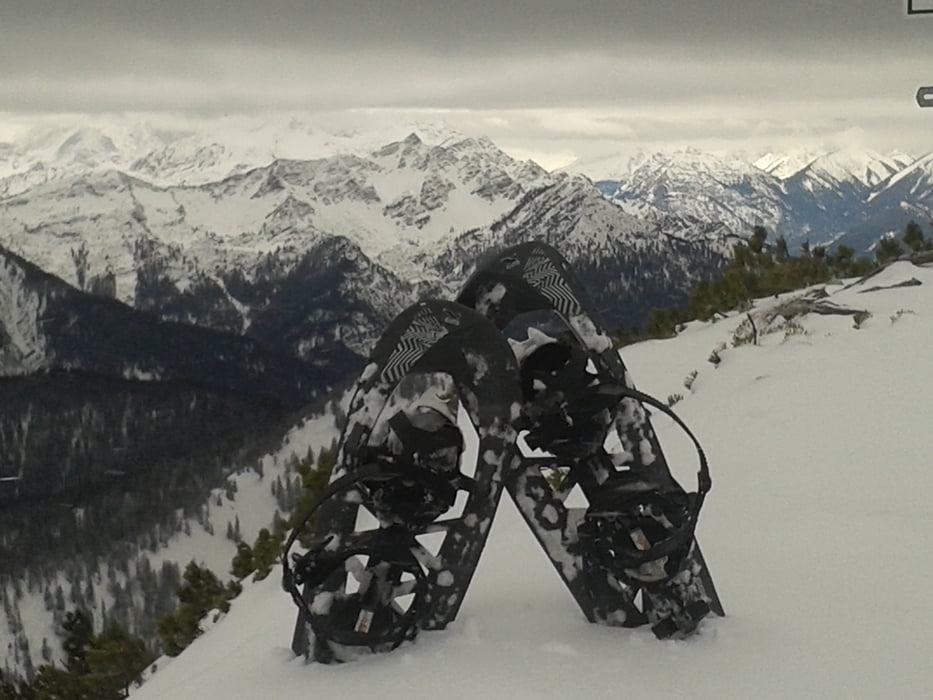
Beim ersten Mal den normalen Aufstieg über den Forstweg und weiter zum Herzogstand, runter jeweils direttissima die Skipiste, 2x Wiederholung ab 1060m (nach Schlehdorfalm), letzter Aufstieg zum Fahrenkopf.
Die finale Abkürzung über die alte Skipiste zum Walchensee ist sehr steil, lieber weglassen!
Bergauf wurden Schneeschuhe benutzt, downhill nur Aldi-Spikes ;-)
Wanderzeit ca. 4h, dann natürlich nur 1x hoch...
Galeria trasy
Mapa trasy i profil wysokości
Minimum height 790 m
Maximum height 1747 m
Komentarze

GPS tracks
Trackpoints-
GPX / Garmin Map Source (gpx) download
-
TCX / Garmin Training Center® (tcx) download
-
CRS / Garmin Training Center® (crs) download
-
Google Earth (kml) download
-
G7ToWin (g7t) download
-
TTQV (trk) download
-
Overlay (ovl) download
-
Fugawi (txt) download
-
Kompass (DAV) Track (tk) download
-
Karta trasy (pdf) download
-
Original file of the author (gpx) download
Add to my favorites
Remove from my favorites
Edit tags
Open track
My score
Rate


