


"Holzfällertour", da diese Strecke durch viele Wald-Forst-Ziehwege ging, an vielen schuftenden Holzfällern und -spaltern vorbei.
Bei dieser Tour habe ich einige neue schöne Trails entdeckt, teilweise bin ich diese hoch gefahren (eventuell in der Karte vor Tourendurchführung anschauen). Man kann sich bei einer Entdeckungstour ja schließlich nicht raussuchen, dass man immer am oberen Punkt der Trails rauskommt ;) nun weiß ich aber, wo sie beginnen und wo enden, fürs nächste Mal.
Der Track wurde leider erst ab Metterzimmern aufgezeichnet, dementsprechend fehlt ein Streckenabschnitt. Endpunkt war Startpunkt, km und Höhenmeter sind von Beginn an angepasst.
Rehe, Spechte, eine schöne Tour durch die Natur
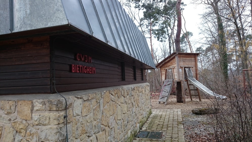
Der geilste Trail ist wohl vom CVJM heim down the hill!
Galeria trasy


Mapa trasy i profil wysokości
Minimum height 175 m
Maximum height 312 m
More about the tour author
|
|
Johi1 |
Komentarze

Ludwigsburg-Bietigheim-Sachsenheim
GPS tracks
Trackpoints-
GPX / Garmin Map Source (gpx) download
-
TCX / Garmin Training Center® (tcx) download
-
CRS / Garmin Training Center® (crs) download
-
Google Earth (kml) download
-
G7ToWin (g7t) download
-
TTQV (trk) download
-
Overlay (ovl) download
-
Fugawi (txt) download
-
Kompass (DAV) Track (tk) download
-
Karta trasy (pdf) download
-
Original file of the author (gpx) download
More about the tour author
|
|
Johi1 |
Add to my favorites
Remove from my favorites
Edit tags
Open track
My score
Rate