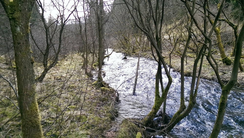
Offizieller Partnerweg zum Eifelsteig. Beginn der achtförmigen Runde ist der Parkplatz an der Höfener Mühle. Die Beschilderung könnte insgesamt etwas engmaschiger sein.
Viele Narzissen gab es Anfang April noch nicht zu sehen und die Wege waren teilweise sehr matschig. Trotzdem sehr schöne und abwechslungsreiche Tour durch Wälder, Wiesen und an Bächen entlang, die zu jeder Jahreszeit absolut lohnenswert ist.
Galeria trasy
Mapa trasy i profil wysokości
Minimum height 439 m
Maximum height 598 m
Komentarze

GPS tracks
Trackpoints-
GPX / Garmin Map Source (gpx) download
-
TCX / Garmin Training Center® (tcx) download
-
CRS / Garmin Training Center® (crs) download
-
Google Earth (kml) download
-
G7ToWin (g7t) download
-
TTQV (trk) download
-
Overlay (ovl) download
-
Fugawi (txt) download
-
Kompass (DAV) Track (tk) download
-
Karta trasy (pdf) download
-
Original file of the author (gpx) download
Add to my favorites
Remove from my favorites
Edit tags
Open track
My score
Rate


