


Galeria trasy
Mapa trasy i profil wysokości
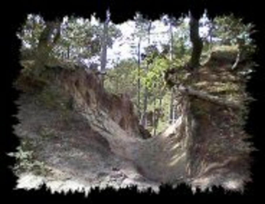
Minimum height 6 m
Maximum height 57 m
More about the tour author
|
|
lars83 |
Komentarze

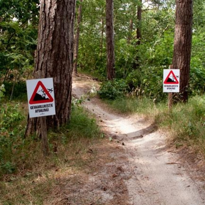
When you go to Bergen, first find the fake ski hill (1861 GK Bergen.) There you will see a big parking place and restaurants. On the bike you climb up the 200m hill to the a crosspoint. Go straight and follow the bicycle road. climb again. After the climbing you wil see ( 200m) left side a big wood information board. Slow down and 20m farther, you turn right and this is the trail.
With this adres you can find a parking place Duinweg 129 1871 AH Schoorl. When you pack your bag turn with your MTB left. After 300m turn right and you see a opening in the woods. Climb the little hill and then turn right. Now you are on the road. Have fun!!!
GPS tracks
Trackpoints-
GPX / Garmin Map Source (gpx) download
-
TCX / Garmin Training Center® (tcx) download
-
CRS / Garmin Training Center® (crs) download
-
Google Earth (kml) download
-
G7ToWin (g7t) download
-
TTQV (trk) download
-
Overlay (ovl) download
-
Fugawi (txt) download
-
Kompass (DAV) Track (tk) download
-
Karta trasy (pdf) download
-
Original file of the author (tcx) download
More about the tour author
|
|
lars83 |
Add to my favorites
Remove from my favorites
Edit tags
Open track
My score
Rate