
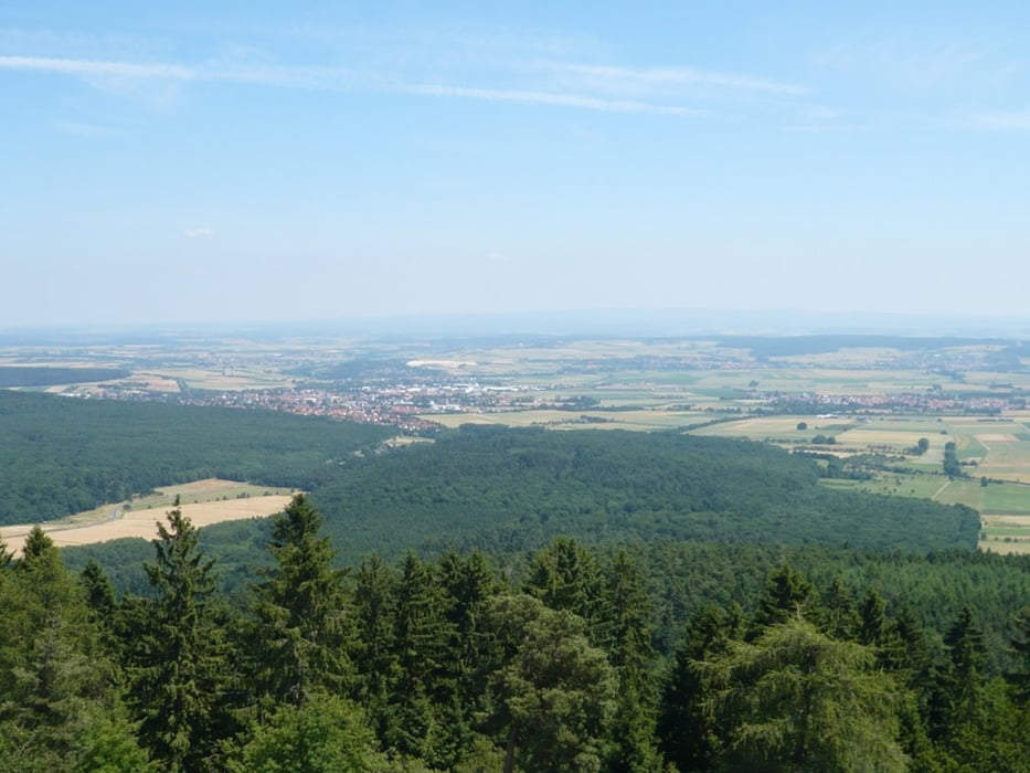

Eine Tour mit Aussichten in den Vogelsberg/Westerwald/Hochsauerland vom Hausbergturm. Aber auch unterwegs immer wieder mal eine schöne Fernsicht.
Ruhig, teils schön flowig mit ein paar Rampen. Sie ist gemütlich als Tagestour zu fahren oder auch schnell zu Trainingszwecken und entspricht dann ungefähr dem Dünsbergmarathon - kleine Strecke.
Auf der Strecke gibt es keine Einkehrmöglichkeiten.
Ruhig, teils schön flowig mit ein paar Rampen. Sie ist gemütlich als Tagestour zu fahren oder auch schnell zu Trainingszwecken und entspricht dann ungefähr dem Dünsbergmarathon - kleine Strecke.
Auf der Strecke gibt es keine Einkehrmöglichkeiten.
Mapa trasy i profil wysokości
Minimum height 161 m
Maximum height 475 m
More about the tour author
|
|
schreiwo |
Komentarze

GPS tracks
Trackpoints-
GPX / Garmin Map Source (gpx) download
-
TCX / Garmin Training Center® (tcx) download
-
CRS / Garmin Training Center® (crs) download
-
Google Earth (kml) download
-
G7ToWin (g7t) download
-
TTQV (trk) download
-
Overlay (ovl) download
-
Fugawi (txt) download
-
Kompass (DAV) Track (tk) download
-
Karta trasy (pdf) download
-
Original file of the author (gpx) download
More about the tour author
|
|
schreiwo |
Add to my favorites
Remove from my favorites
Edit tags
Open track
My score
Rate