
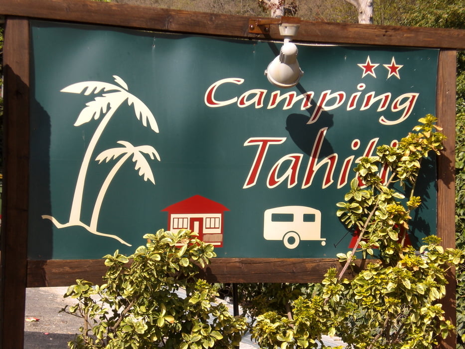

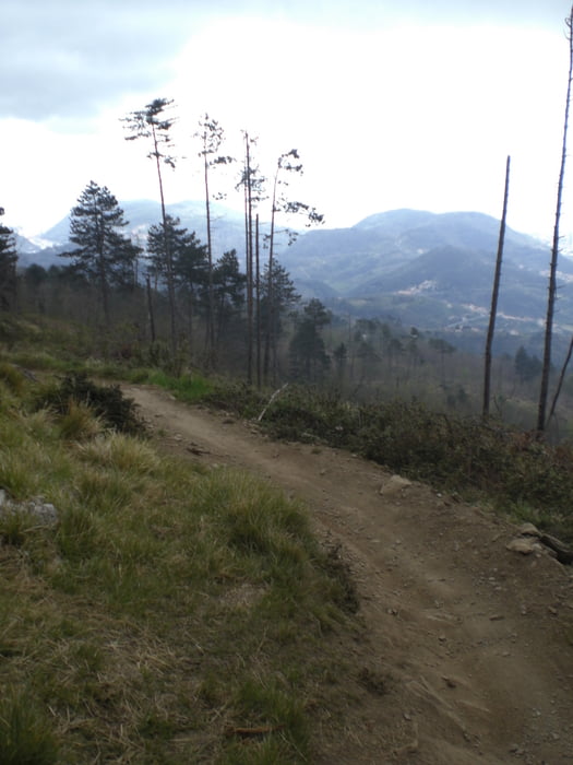
vom Camping Tahiti nach Finalborgo. Von hier hoch zum Castello und Richtung Perti am Castello de Gavarone vorbei. Auf einem kleinen verkehrsarmen Asphaltsträßchen bis ans Ende fahren. Links geht der Trail am Zaun entlang. Grobe Pflastersteine. Dann scharf rechts ab am Hang entlang bis man auf eine Strasse trifft. Auf der hinunter nach Calice Ligure. Von hier hoch nach Rialto (leider alles Asphalt) und weiter auf einem Waldweg hinauf zu Melogno-Pass. Hier nach dem Restaurant Din links ab. Ab hier kann man verschiedene Trails abwärts fahren z. B. Rollercoaster, Madonna della Guardia, Tobagao de Canova. Der Tobago zweigt als erster rechts ab und führt dann in Serpentinen hinab nach Isallo. Alles guter Lehmboden, gut fahrbar, S1. Von Isallo gehts auf Asphalt nach Magliolo. Da ich nicht gern Apshalt fahre, habe ich dann den ersten möglichen Weg bergab gewählt. Wunderschöner Trail Wanderweg, am Fluss entlang nach Tovo San Giacomo. Von hier nach Pietra Ligure und am Meer entlang zurück zum Campingplatz.
Galeria trasy


Mapa trasy i profil wysokości
Minimum height -49 m
Maximum height 972 m
More about the tour author
|
|
Fruehaufsteher |
Komentarze

GPS tracks
Trackpoints-
GPX / Garmin Map Source (gpx) download
-
TCX / Garmin Training Center® (tcx) download
-
CRS / Garmin Training Center® (crs) download
-
Google Earth (kml) download
-
G7ToWin (g7t) download
-
TTQV (trk) download
-
Overlay (ovl) download
-
Fugawi (txt) download
-
Kompass (DAV) Track (tk) download
-
Karta trasy (pdf) download
-
Original file of the author (gpx) download
More about the tour author
|
|
Fruehaufsteher |
Add to my favorites
Remove from my favorites
Edit tags
Open track
My score
Rate