Login

Zapomniałeś swój login?

Cookies have to be accepted!
Your browser's cookie functionality is disabled. Please enable this functionality.

Not a member yet?

Register now
Login

Available for registred users only

Log in to use this feature.

Zapomniałeś swój login?

Cookies have to be accepted!
Your browser's cookie functionality is disabled. Please enable this functionality.

Not a member yet?

Register now
Filter
Kategorie
Advanced filters
  • Długość (km)
  • Wysokość
Zapisz filtr Reset filter

TrackRank

QRCode

Technical data

Długość31,3 km Wysokość756 m Way down770 m Czas trwania03:00 h:m Data26.03.2008
Oceny Author Krajobraz Czynnik zadowolenia Kondycja Technika

Statystyka

538 Widoki Oceny 124 Downloads / Pliki do pobrania Przeciętnie
Rate
  • Karta trasy
  • Dojazd
  • Downloads / Pliki do pobrania
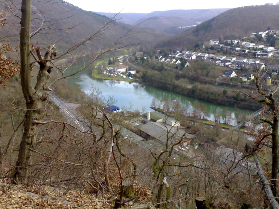
Knapp 3-stündige Rundtour zum Höhenmeter-Fressen. Zunächst der Lahn entlang bis Fachbach, dort direkt bergauf. Im obereren Teil nervige Schiebepassage. Nervig deshalb, weil hier Holzarbeiten stattfanden mit sehr tiefgründigen Schäden am Waldboden, deshalb ziemliche Schlammschlacht. Vielleicht erst wieder ab Ende 2008 angehen, wenn „Gras drüber gewachsen“ ist.

Mapa trasy i profil wysokości

  • Open Street Map
  • Google
Minimum height 69 m Maximum height 374 m Widok szczegółowy

More about the tour author

berufsradler
Member since 2007

Send private message

Komentarze

GPS tracks

Trackpoints
  • GPX / Garmin Map Source (gpx) download
  • TCX / Garmin Training Center® (tcx) download
  • CRS / Garmin Training Center® (crs) download
  • Google Earth (kml) download
  • G7ToWin (g7t) download
  • TTQV (trk) download
  • Overlay (ovl) download
  • Fugawi (txt) download
  • Kompass (DAV) Track (tk) download
  • Karta trasy (pdf) download
  • Original file of the author (gpx) download

More about the tour author

berufsradler
Member since 2007

Send private message
Share track
Add to my favorites
Remove from my favorites
Edit tags
My score
Rate
Trasa: Fachbach - Bad Ems - Forsthaus
Rodzaj: Rower górski (MTB)
Długość: 31,3 km
Evaluated on:
Czas trwania:
Day(s)
Hour(s)
Minute(s)
Ocena: Krajobraz Czynnik zadowolenia Kondycja Technika