


Die Strecke ist auch gut per Bahn über den Bahnhof Limburg-Süd erreichbar.
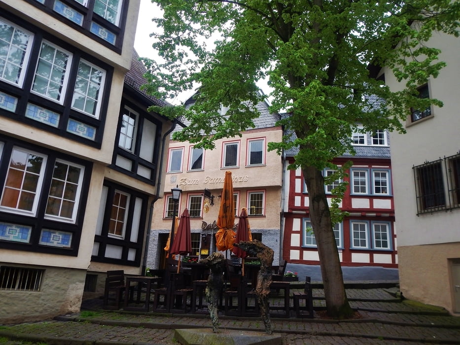
Ich selber bin in Limburg gestartet und habe mir erst mal ein wenig Limburg angeschaut. Zum Losfahren wurde der Wanderweg "Lahn-Camino, Jakobsweg, Lahnhöhenweg, Lahnwanderweg" gesucht. Diesen kann man an einigen Stellen nur fahren, wenn nicht zu viele Wanderer unterwegs sind www.panoramio.com/photo/119181333
Gefahren wird bis Runkel. Gerade der letzte Teil der Strecke ist sehr schön. Dort geht es oberhalb der Lahn auf einem schönen Trail.
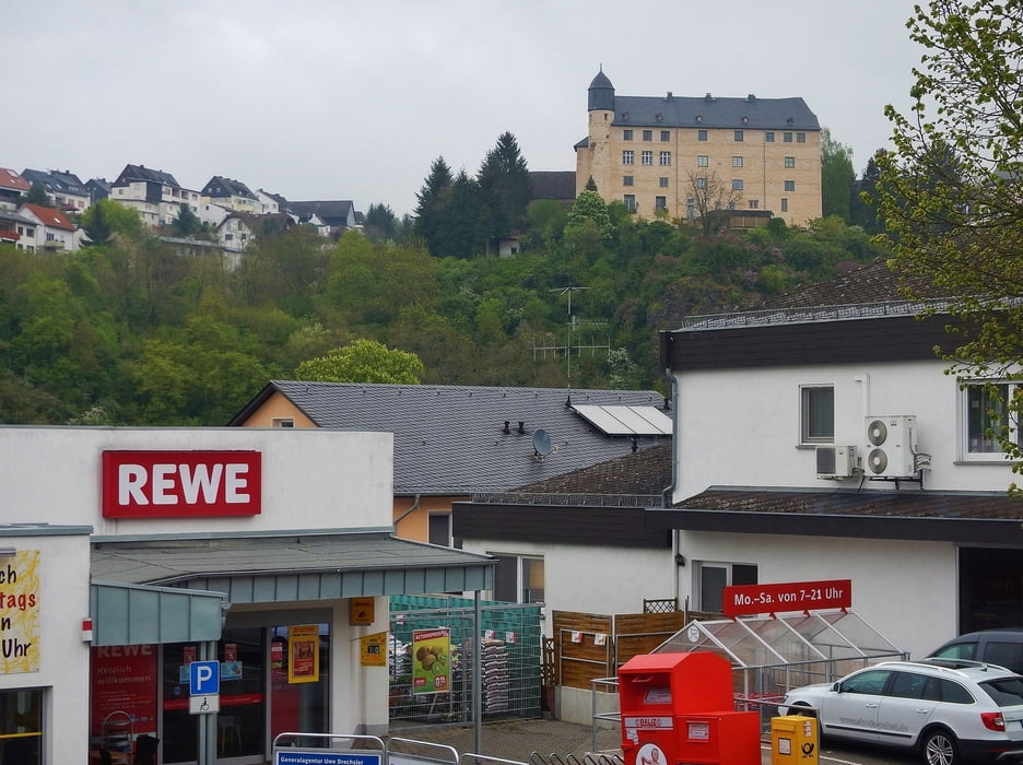
In Runkel lohnt es sich, die Burg Runkel www.burg-runkel.de/ anzuschauen.
Der Rückweg ist schnell: Genutzt wird der "Hessische Radfernweg R7 im Lahntal" www.panoramio.com/photo/119181426. Dieser ist geteert und somit ist der Rückweg von 9 km schnell gefahren.
Interessant sind da vielleicht noch die Brücken der BAB A3 und die der Schnellfahrstrecke Frankfurt - Köln www.panoramio.com/photo/119181171
Further information at
http://www.limburg.de/TourismusGaleria trasy


Mapa trasy i profil wysokości
Minimum height 116 m
Maximum height 202 m
More about the tour author
|
|
MatthiasBy |
Komentarze

Ich selber habe geparkt in Limburg an der Lahn. An Sonntagen findet man dort einfach Parkplätze. Beim Bahnhof Limburg Süd www.panoramio.com/photo/119181189im Industriegebiet sind sicherlich auch Parkplätze zu finden.
GPS tracks
Trackpoints-
GPX / Garmin Map Source (gpx) download
-
TCX / Garmin Training Center® (tcx) download
-
CRS / Garmin Training Center® (crs) download
-
Google Earth (kml) download
-
G7ToWin (g7t) download
-
TTQV (trk) download
-
Overlay (ovl) download
-
Fugawi (txt) download
-
Kompass (DAV) Track (tk) download
-
Karta trasy (pdf) download
-
Original file of the author (gpx) download
More about the tour author
|
|
MatthiasBy |
Add to my favorites
Remove from my favorites
Edit tags
Open track
My score
Rate