
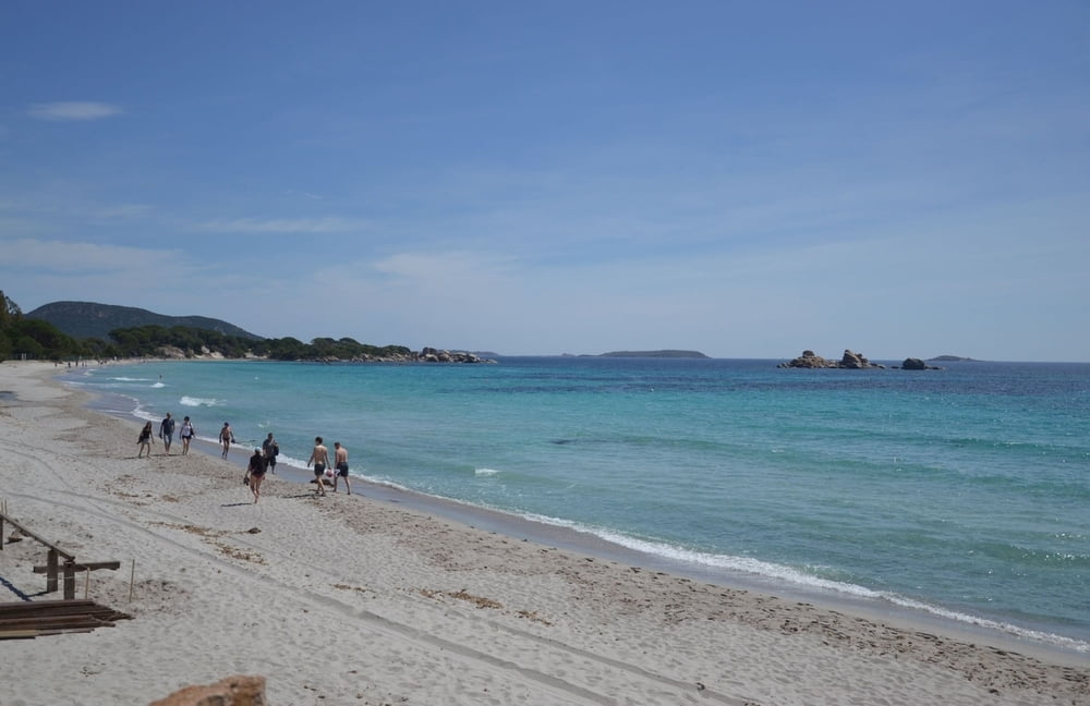

An der Südseite von der durch den Golf von Porto Vecchio geformten Halbinsel befinden sich die bekannten Sandstrände von Palumbaggia.
Da die Umrundung an sich ein bisschen wenig war baute ich noch einen Loop ein mit einem kleinen Abstecher in das Hinterland, so dass die Tour sich zu einer ansehnlichen kleinen Trainingstour mauserte. Dabei wird ein Stück Küstenstrasse 2x befahren, aber es ist ja nicht das schlechteste Stück Strasse.
Der Track beginnt ein Stück innerhalb der Halbinsel im Bereich einiger Resorts (warum wohl..).
Gastro-Tip: in jenem 2x befahrenem Teilstück befindet sich das kleine feine Strandrestaurant "Le Petit Chose", unverkennbar mit knallgelbem Schild einladend. Und die Fleisch und Fischtheke vom Spar, den man an der N198 passiert, ist auch äußerst delikat
Mapa trasy i profil wysokości
Minimum height 5 m
Maximum height 189 m
More about the tour author

|
Stefan_L_01 |
Komentarze

Parkmöglichkeiten an der N198 an der Tankstelle nahe dem Kreisel
GPS tracks
Trackpoints-
GPX / Garmin Map Source (gpx) download
-
TCX / Garmin Training Center® (tcx) download
-
CRS / Garmin Training Center® (crs) download
-
Google Earth (kml) download
-
G7ToWin (g7t) download
-
TTQV (trk) download
-
Overlay (ovl) download
-
Fugawi (txt) download
-
Kompass (DAV) Track (tk) download
-
Karta trasy (pdf) download
-
Original file of the author (gpx) download
More about the tour author
|
|
Stefan_L_01 |
Add to my favorites
Remove from my favorites
Edit tags
Open track
My score
Rate