


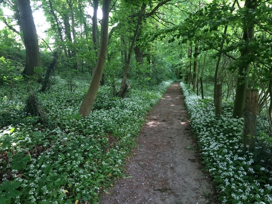
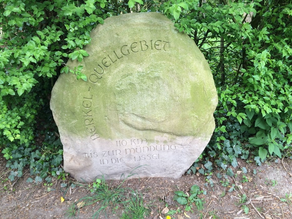
Dies ist eine sehr schöne Wanderung rund um Billerbeck, die auch mit dem Fahrrad zu absolvieren ist. Es sind 1-2 kleine Abschnitte mit Feldwegen dazwischen, die aber auch gefahren werden können. Parkt beim Punkt 55 (das ist die Berkelquelle; dort ist ein Parkplatz vorhanden). Auch am Punkt 80 (Kolvenburg) findet man ausreichend Parkplätze. Die Wanderung orientiert sich hauptsächlich an der roten Walkingroute, weicht aber hier und da etwas davon ab. Viel Spass
Galeria trasy
Mapa trasy i profil wysokości
Minimum height 99999 m
Maximum height -99999 m
More about the tour author

|
Kalimero |
Komentarze

Parkplätze bei den Punkten 55 Berkelquelle oder 80 Kolvenburg
GPS tracks
Trackpoints-
GPX / Garmin Map Source (gpx) download
-
TCX / Garmin Training Center® (tcx) download
-
CRS / Garmin Training Center® (crs) download
-
Google Earth (kml) download
-
G7ToWin (g7t) download
-
TTQV (trk) download
-
Overlay (ovl) download
-
Fugawi (txt) download
-
Kompass (DAV) Track (tk) download
-
Karta trasy (pdf) download
-
Original file of the author (gpx) download
More about the tour author
|
|
Kalimero |
Add to my favorites
Remove from my favorites
Edit tags
Open track
My score
Rate