Login

Zapomniałeś swój login?

Cookies have to be accepted!
Your browser's cookie functionality is disabled. Please enable this functionality.

Not a member yet?

Register now
Login

Available for registred users only

Log in to use this feature.

Zapomniałeś swój login?

Cookies have to be accepted!
Your browser's cookie functionality is disabled. Please enable this functionality.

Not a member yet?

Register now
Filter
Kategorie
Advanced filters
  • Długość (km)
  • Wysokość
Zapisz filtr Reset filter

TrackRank

QRCode

Technical data

Długość61,6 km Wysokość1236 m Way down1251 m Czas trwania05:20 h:m Data18.05.2015
Oceny Author Krajobraz Czynnik zadowolenia Kondycja Technika

Statystyka

279 Widoki Oceny 51 Downloads / Pliki do pobrania Przeciętnie
Rate
  • Karta trasy
  • Dojazd
  • Downloads / Pliki do pobrania

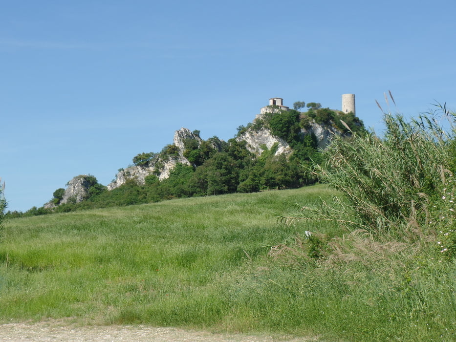
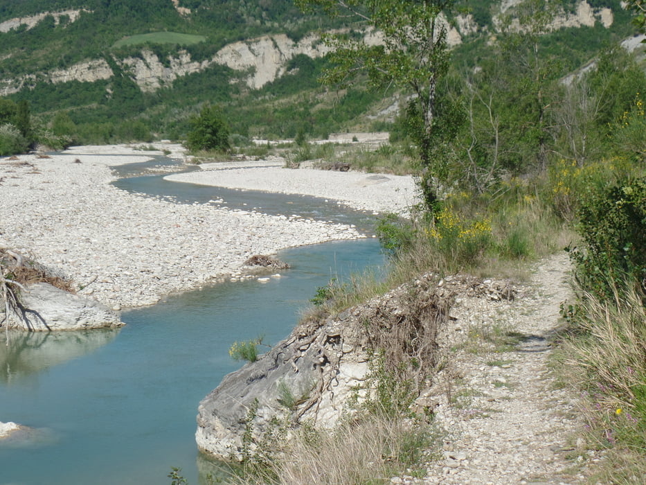
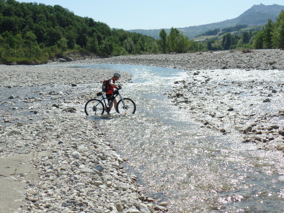
Die Tour startet Nordwestlich von San Marino.Sie führt Großteils auf Asphalt.Wir haben drei Stunden keinen Menschen gesehen!!!Viel Trinken und Jause mitnehme


Galeria trasy

Mapa trasy i profil wysokości

  • Open Street Map
  • Google
Minimum height 113 m Maximum height 793 m Widok szczegółowy

More about the tour author

plazo100
Member since 2009

Send private message

Komentarze

GPS tracks

Trackpoints
  • GPX / Garmin Map Source (gpx) download
  • TCX / Garmin Training Center® (tcx) download
  • CRS / Garmin Training Center® (crs) download
  • Google Earth (kml) download
  • G7ToWin (g7t) download
  • TTQV (trk) download
  • Overlay (ovl) download
  • Fugawi (txt) download
  • Kompass (DAV) Track (tk) download
  • Karta trasy (pdf) download
  • Original file of the author (gpx) download

More about the tour author

plazo100
Member since 2009

Send private message
Share track
Add to my favorites
Remove from my favorites
Edit tags
My score
Rate
Trasa: Viel Schotter!!!!
Rodzaj: Rower górski (MTB)
Długość: 61,6 km
Evaluated on:
Czas trwania:
Day(s)
Hour(s)
Minute(s)
Ocena: Krajobraz Czynnik zadowolenia Kondycja Technika