
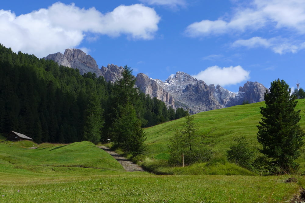

Sehr schöne Panoramatour vorbei an den Geislerspitzen und herrlichem Blick auf Langkofel-und Sellagruppe.
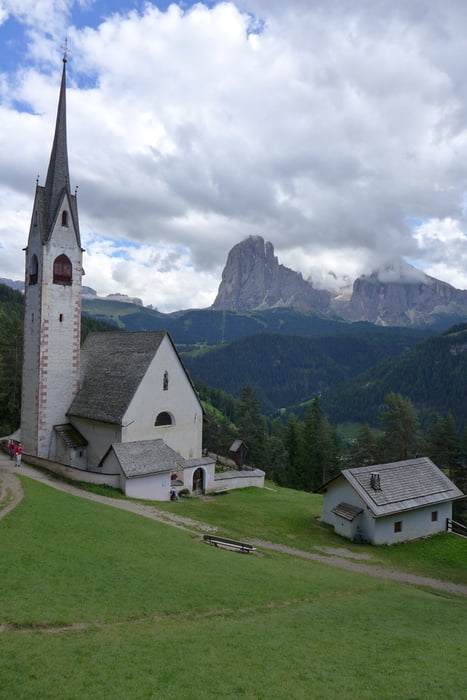
Am Anfrang steiler Weg bis zur Gamsbluthütte. Wer diesen umgehen mag, kann wahlweise auch mit der Seilbahn bis Col Raiser fahren. Ab der gamsblut hütte ist der Anstieg angenehmer und folgt Wirtschaftswegen in Richtung Sella Cuca. Von dort hat man einen schönen Rundumblick. Der nun folgende Pfad ist bei trockener Witterung kein Problem, bei vorangegangenen Regenfällen muss man etwas aufpassen. Hat man den Wald hinter sich gelassen, wird der Weg wieder breiter und führt zunächst über Almwiesen mit herrlichem Blick auf das Sella- und Langkofelmassiv bis hin zum Ortler. Weiter geht es über Fahr-und Wanderwege zur Kappelle St.Jakobus und schließlich nach St.Ulrich
Galeria trasy

Mapa trasy i profil wysokości
Minimum height 1231 m
Maximum height 2164 m
More about the tour author
|
|
Prados76 |
Komentarze

mit den regelmäßig fahrenden Bussen, lassen sich alle Startorte bequem erreichen
GPS tracks
Trackpoints-
GPX / Garmin Map Source (gpx) download
-
TCX / Garmin Training Center® (tcx) download
-
CRS / Garmin Training Center® (crs) download
-
Google Earth (kml) download
-
G7ToWin (g7t) download
-
TTQV (trk) download
-
Overlay (ovl) download
-
Fugawi (txt) download
-
Kompass (DAV) Track (tk) download
-
Karta trasy (pdf) download
-
Original file of the author (gpx) download
More about the tour author
|
|
Prados76 |
Add to my favorites
Remove from my favorites
Edit tags
Open track
My score
Rate