


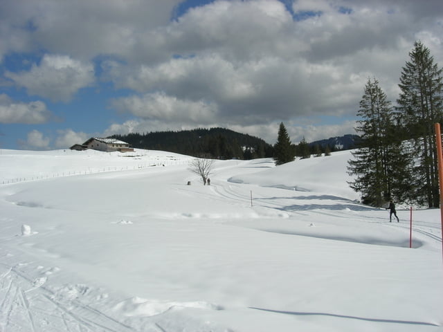
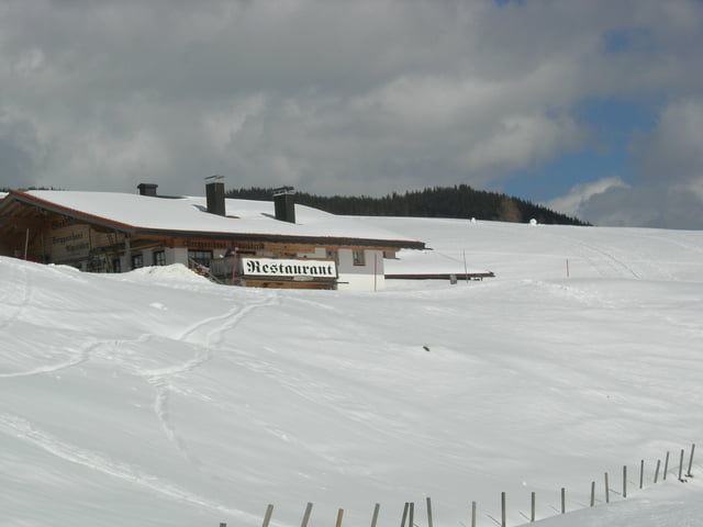
Am Seegatterl geparkt und den Forstweg bis zur Winkelmoosalm hinaufgefahren. Ziemlich anstrengend. Einkehr im Almstüberl war dringend notwendig, um die Speicher wieder aufzufüllen.
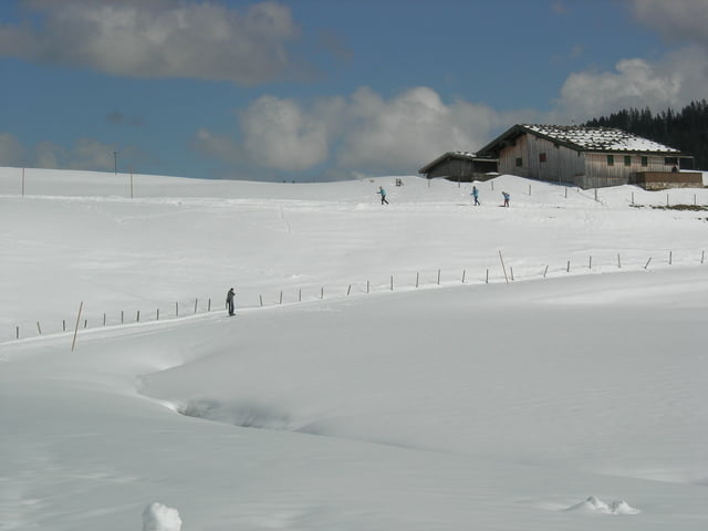
In dem Gebiet wird auch Alpin gefahren, aber es gibt schöne Loipen für die späte Saison und wenns schon relativ warm im Tal ist.
Oben dann eine kleine Runde gedreht und den gleichen Weg zurück gefahren.
Further information at
http://www.winklmoosalm.de/Galeria trasy
Mapa trasy i profil wysokości
Minimum height 768 m
Maximum height 1245 m
More about the tour author

|
smartandem |
Komentarze

Über die A8 Richtung Salzburg bis zur Ausfahrt Markquartstein. Dort den Hinweisen Richtung Reit im Winkel folgen. Die B305 führt gut beschildert zum Seegatterl.
Geparkt wird am Liftparkplatz, bzw. dort wo man mit dem Bus nach oben fahren kann. Im Winter kann man nicht mit dem PKW hochfahren.
GPS tracks
Trackpoints-
GPX / Garmin Map Source (gpx) download
-
TCX / Garmin Training Center® (tcx) download
-
CRS / Garmin Training Center® (crs) download
-
Google Earth (kml) download
-
G7ToWin (g7t) download
-
TTQV (trk) download
-
Overlay (ovl) download
-
Fugawi (txt) download
-
Kompass (DAV) Track (tk) download
-
Karta trasy (pdf) download
-
Original file of the author (gpx) download
More about the tour author
|
|
smartandem |
Add to my favorites
Remove from my favorites
Edit tags
Open track
My score
Rate