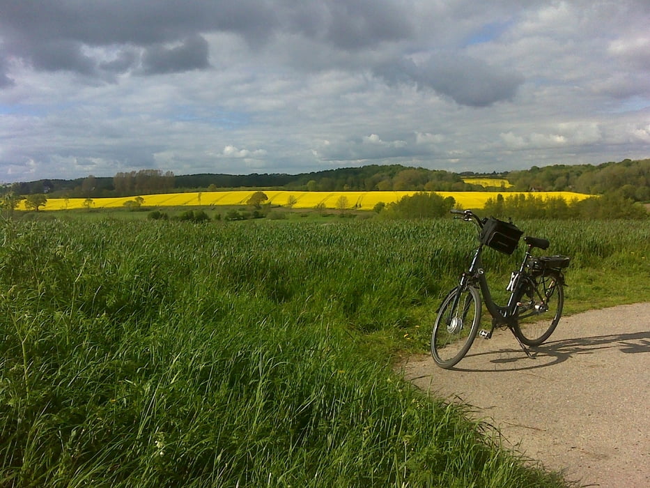
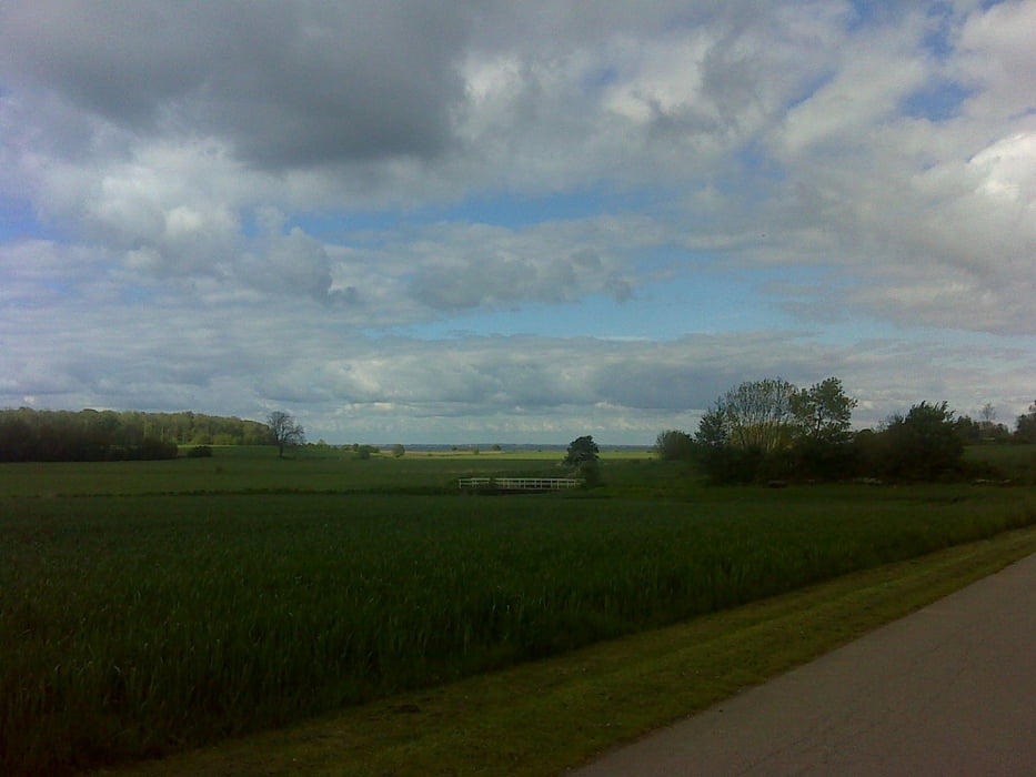
Diese Fahrrad-Runde startet in Norgaardholz bei der Alten Schule und führt über Neukirchen, Scheersberg, Westerholm, Osterholm, Esgrus, Niesgrau, Ohrfeldhaff, Steinberghaff zurück nach Norgaardholz. Überwiegend auf Radwegen oder Feldwegen. Meistens asphaltiert, außer zwischen Ohrfeldhaff bis Steinberghaff ist ein unbefestigter Weg, der aber direkt an der Ostsee (Geltinger Bucht) führt.
Galeria trasy
Mapa trasy i profil wysokości
Minimum height 4 m
Maximum height 68 m
Komentarze

GPS tracks
Trackpoints-
GPX / Garmin Map Source (gpx) download
-
TCX / Garmin Training Center® (tcx) download
-
CRS / Garmin Training Center® (crs) download
-
Google Earth (kml) download
-
G7ToWin (g7t) download
-
TTQV (trk) download
-
Overlay (ovl) download
-
Fugawi (txt) download
-
Kompass (DAV) Track (tk) download
-
Karta trasy (pdf) download
-
Original file of the author (gpx) download
Add to my favorites
Remove from my favorites
Edit tags
Open track
My score
Rate


