
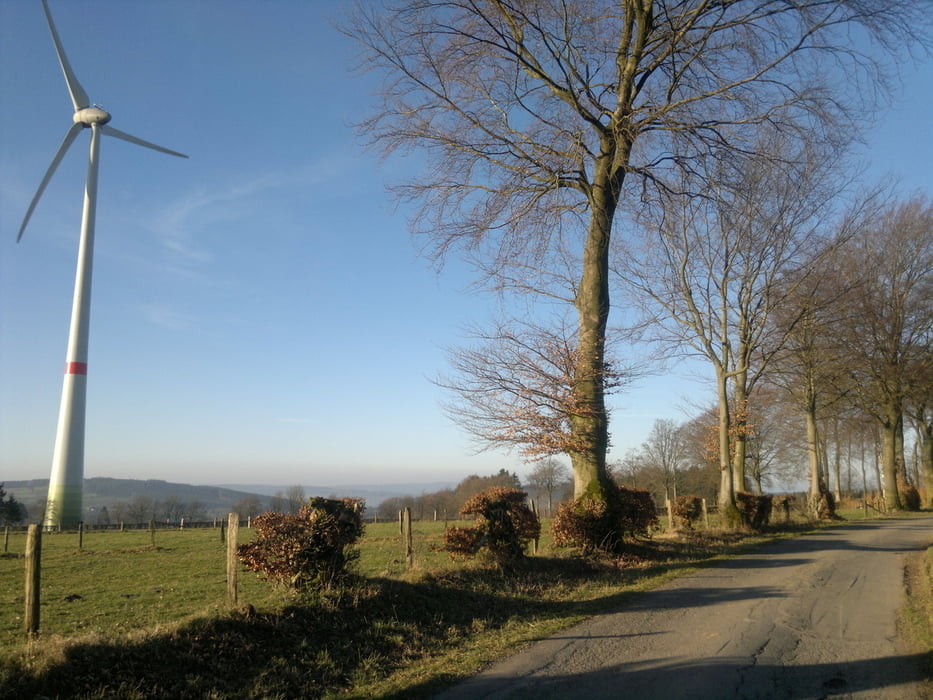

Geen lange toer, maar wel serieus wat hoogtemetertjes. Eerste helft op absoluut verkeersluwe straten, tweede helft op drukkere banen, maar het landschap compenseert al het "autoleed". Als je buiten de spits rijdt (wat ik bij deze tocht niet deed), kom je zelfs op de grote banen weinig auto's tegen.
Er zitten enkele lange klimmetjes in... Van Bellevaux naar Hédomont: 2.5 km (161 meter stijgen) en van Malmedy tot aan de afslag naar Longfaye (3.5 km en 220 meter stijgen). Telkens zonder het vals plat mee te rekenen!
Further information at
https://www.facebook.com/avanriec?ref=hlMapa trasy i profil wysokości
Minimum height 404 m
Maximum height 649 m
More about the tour author
|
|
AnVanRie |
Komentarze

Ik ben gestart aan het voormalige schooltje in Gueuzaine, Waimes.
GPS tracks
Trackpoints-
GPX / Garmin Map Source (gpx) download
-
TCX / Garmin Training Center® (tcx) download
-
CRS / Garmin Training Center® (crs) download
-
Google Earth (kml) download
-
G7ToWin (g7t) download
-
TTQV (trk) download
-
Overlay (ovl) download
-
Fugawi (txt) download
-
Kompass (DAV) Track (tk) download
-
Karta trasy (pdf) download
-
Original file of the author (gpx) download
More about the tour author
|
|
AnVanRie |
Add to my favorites
Remove from my favorites
Edit tags
Open track
My score
Rate