Login

Zapomniałeś swój login?

Cookies have to be accepted!
Your browser's cookie functionality is disabled. Please enable this functionality.

Not a member yet?

Register now
Login

Available for registred users only

Log in to use this feature.

Zapomniałeś swój login?

Cookies have to be accepted!
Your browser's cookie functionality is disabled. Please enable this functionality.

Not a member yet?

Register now
Filter
Kategorie
Advanced filters
  • Długość (km)
  • Wysokość
Zapisz filtr Reset filter

TrackRank

QRCode

Technical data

Długość76,9 km Wysokość1180 m Way down1392 m Czas trwania04:00 h:m Data23.05.2015
Oceny Author Krajobraz Czynnik zadowolenia Kondycja Technika

Statystyka

285 Widoki Oceny 21 Downloads / Pliki do pobrania Przeciętnie
Rate
  • Karta trasy
  • Dojazd
  • Downloads / Pliki do pobrania

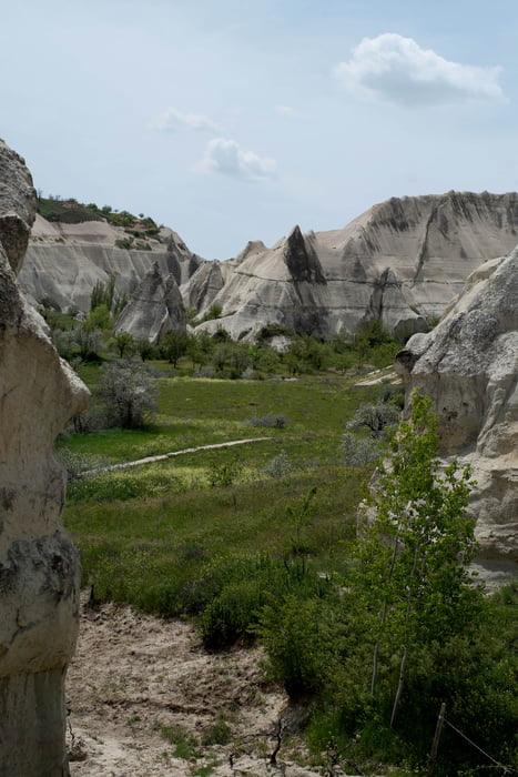
Super Spaziergang von Uchisar nach Avanos und mit dem Bus wieder zurück !!!

ACHTUNG: Die Wanderung/Spaziergang war nur von Kilometer 47,2 - 63,4, ab Kilometer 63,4 sind wir wieder mit dem Bus über Aktepe zurück nach Uchisar (Umsteigen in Göreme). Die Kilometer 0 - 47,2 sind von der MTB Tour vom Vortag (Tour: Gomeda Valley)

CM


Galeria trasy

Mapa trasy i profil wysokości

  • Open Street Map
  • Google
Minimum height 923 m Maximum height 1496 m Widok szczegółowy

More about the tour author

ChrisHKMath
Member since 2015

Send private message

Komentarze

ChrisHKMath on 23.05.2015

Streckenkorrektur

ACHTUNG: Die Wanderung/Spaziergang war nur von Kilometer 47,2 - 63,4, ab Kilometer 63,4 sind wir wieder mit dem Bus über Aktepe zurück nach Uchisar (Umsteigen in Göreme). Die Kilometer 0 - 47,2 sind von der MTB Tour vom Vortag (Tour: Gomeda Valley)

CM

GPS tracks

Trackpoints
  • GPX / Garmin Map Source (gpx) download
  • TCX / Garmin Training Center® (tcx) download
  • CRS / Garmin Training Center® (crs) download
  • Google Earth (kml) download
  • G7ToWin (g7t) download
  • TTQV (trk) download
  • Overlay (ovl) download
  • Fugawi (txt) download
  • Kompass (DAV) Track (tk) download
  • Karta trasy (pdf) download
  • Original file of the author (gpx) download

More about the tour author

ChrisHKMath
Member since 2015

Send private message
Share track
Add to my favorites
Remove from my favorites
Edit tags
My score
Rate
Trasa: Love Valley bis Avanos
Rodzaj: Biegi
Długość: 76,9 km
Evaluated on:
Czas trwania:
Day(s)
Hour(s)
Minute(s)
Ocena: Krajobraz Czynnik zadowolenia Kondycja Technika