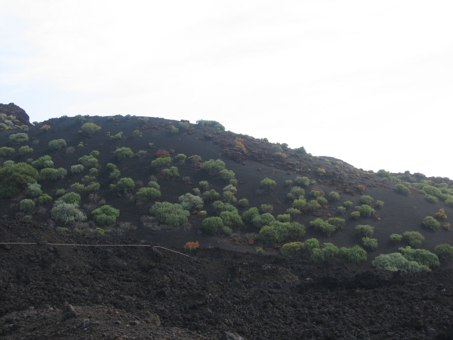
Nach dem Start beim Faro del Fuencaliente (Leuchtturm) am südlichsten Punkt geht es ca. 700Hm bis zum Ort Los Canarios. Von dort geht es über die Vulkane San Antonio und Teneguia (Ausbruch 1971) zum Teil durch schöne schwarze Aschefelder bis zum Ausgangspunkt zurück.
Beeindruckende Tour durch eine Vulkanlandschaft.
Beeindruckende Tour durch eine Vulkanlandschaft.
Mapa trasy i profil wysokości
Minimum height 24 m
Maximum height 721 m
Komentarze

GPS tracks
Trackpoints-
GPX / Garmin Map Source (gpx) download
-
TCX / Garmin Training Center® (tcx) download
-
CRS / Garmin Training Center® (crs) download
-
Google Earth (kml) download
-
G7ToWin (g7t) download
-
TTQV (trk) download
-
Overlay (ovl) download
-
Fugawi (txt) download
-
Kompass (DAV) Track (tk) download
-
Karta trasy (pdf) download
-
Original file of the author (gpx) download
Add to my favorites
Remove from my favorites
Edit tags
Open track
My score
Rate


