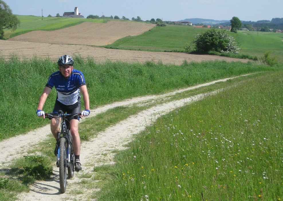
Im Prinzip die gleiche Tour wie "Nordschleife" aber eben etwas weniger Asphalt und rund 150 Höhenmeter mehr, durch Einbau des reizvollen Leopoldschläger Berges. Ich bin die Runde in sportlicher Weise gefahren und habe um einen um ein halbes km/h höheren Schnitt erreicht.
Galeria trasy
Mapa trasy i profil wysokości
Minimum height 509 m
Maximum height 851 m
Komentarze

GPS tracks
Trackpoints-
GPX / Garmin Map Source (gpx) download
-
TCX / Garmin Training Center® (tcx) download
-
CRS / Garmin Training Center® (crs) download
-
Google Earth (kml) download
-
G7ToWin (g7t) download
-
TTQV (trk) download
-
Overlay (ovl) download
-
Fugawi (txt) download
-
Kompass (DAV) Track (tk) download
-
Karta trasy (pdf) download
-
Original file of the author (tcx) download
Add to my favorites
Remove from my favorites
Edit tags
Open track
My score
Rate

