
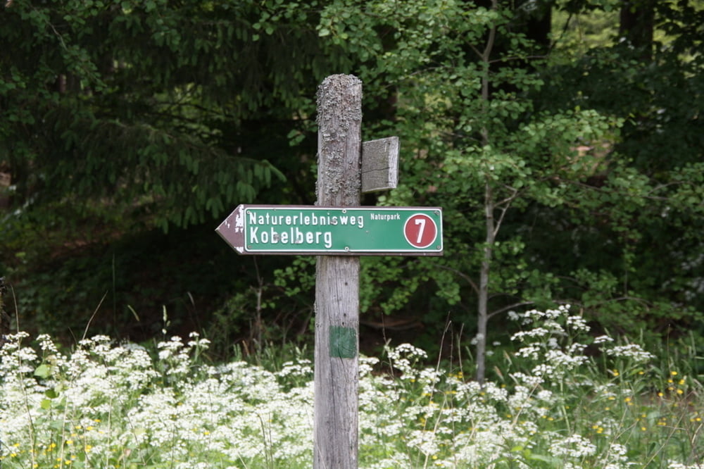

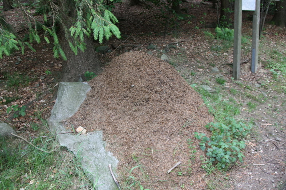
Ausgangspunkt ist die Infotafel zum Naturerlebnisweg Kobelbergdirekt am Schiederhof. Von hier den Weg Nummer 7 folgen. Der Weg ist sehr Familienfreundlich und auch mit Kinderwagen zu bewältigen. Es gibt ein paar Stationen, die allerdings mal wieder in Schuss gebracht werden müssen. So ist z.B. eine Sprunggrube, eine Wippe, ein Summstein, ein Holzxylophon und ein Barfußpfad mit dabei. Diese sind vor allem für Kinder gedacht. Bemerkenswert ist, dass es hier sehr viele Waldameisen gibt.
Galeria trasy


Mapa trasy i profil wysokości
Minimum height 639 m
Maximum height 672 m
More about the tour author

|
Zuloum |
Komentarze

Auf der A3 zur Ausfahrt Kirchroth, weiter Richtung Wiesenfelden, vor WIesenfelden links nach Schiederhof . Parken direkt am Schiederhof.
GPS tracks
Trackpoints-
GPX / Garmin Map Source (gpx) download
-
TCX / Garmin Training Center® (tcx) download
-
CRS / Garmin Training Center® (crs) download
-
Google Earth (kml) download
-
G7ToWin (g7t) download
-
TTQV (trk) download
-
Overlay (ovl) download
-
Fugawi (txt) download
-
Kompass (DAV) Track (tk) download
-
Karta trasy (pdf) download
-
Original file of the author (gpx) download
More about the tour author
|
|
Zuloum |
Add to my favorites
Remove from my favorites
Edit tags
Open track
My score
Rate