Login

Zapomniałeś swój login?

Cookies have to be accepted!
Your browser's cookie functionality is disabled. Please enable this functionality.

Not a member yet?

Register now
Login

Available for registred users only

Log in to use this feature.

Zapomniałeś swój login?

Cookies have to be accepted!
Your browser's cookie functionality is disabled. Please enable this functionality.

Not a member yet?

Register now
Filter
Kategorie
Advanced filters
  • Długość (km)
  • Wysokość
Zapisz filtr Reset filter

TrackRank

QRCode

Technical data

Długość35,6 km Wysokość653 m Way down652 m Czas trwania03:30 h:m Data04.06.2015
Oceny Author User Krajobraz Czynnik zadowolenia Kondycja Technika

Statystyka

338 Widoki 1 Ocena 23 Downloads / Pliki do pobrania 4.00 Przeciętnie
Rate
  • Karta trasy
  • Dojazd
  • Downloads / Pliki do pobrania

Die erste Tour mit meiner Ehefrau Birgit nach der Kinderpause. Die Tour ist fast ident mit Karlstift - Leopoldov, nur gegen den Uhrzeigersinn. Die überwiegende Anzahl der Höhenmeter bergauf findet so auf Asphalt statt.
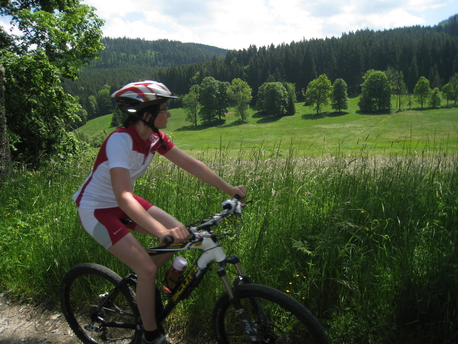
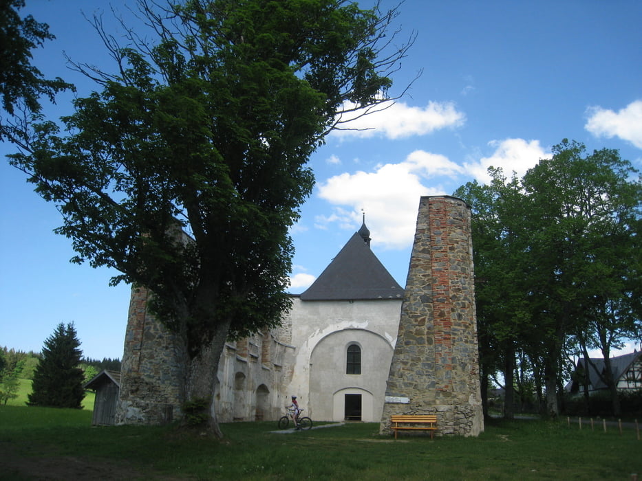
 

Galeria trasy

Mapa trasy i profil wysokości

  • Open Street Map
  • Google
Minimum height 735 m Maximum height 1026 m Widok szczegółowy

More about the tour author

rjkas
Member since 2003

Send private message

Komentarze

helix99 on 14.04.2017

Schöne abgelegene Runde

Landschaftlich sehr reizvoll, eher einfach zu fahren, Genussrunde, habe die Runde mittels Greenway zwischen Leopoldau und dem kleinen See etwas abgekürzt und war so nach 2:30 wieder in Karlstift. Du hast sehr viele schöne Touren. Bitte weiter so ;-)

GPS tracks

Trackpoints
  • GPX / Garmin Map Source (gpx) download
  • TCX / Garmin Training Center® (tcx) download
  • CRS / Garmin Training Center® (crs) download
  • Google Earth (kml) download
  • G7ToWin (g7t) download
  • TTQV (trk) download
  • Overlay (ovl) download
  • Fugawi (txt) download
  • Kompass (DAV) Track (tk) download
  • Karta trasy (pdf) download
  • Original file of the author (tcx) download

More about the tour author

rjkas
Member since 2003

Send private message
Share track
Add to my favorites
Remove from my favorites
Edit tags
My score
Rate
Trasa: Karlstift - Pohorska Ves - Leopoldov
Rodzaj: Rower górski (MTB)
Długość: 35,6 km
Evaluated on:
Czas trwania:
Day(s)
Hour(s)
Minute(s)
Ocena: Krajobraz Czynnik zadowolenia Kondycja Technika