
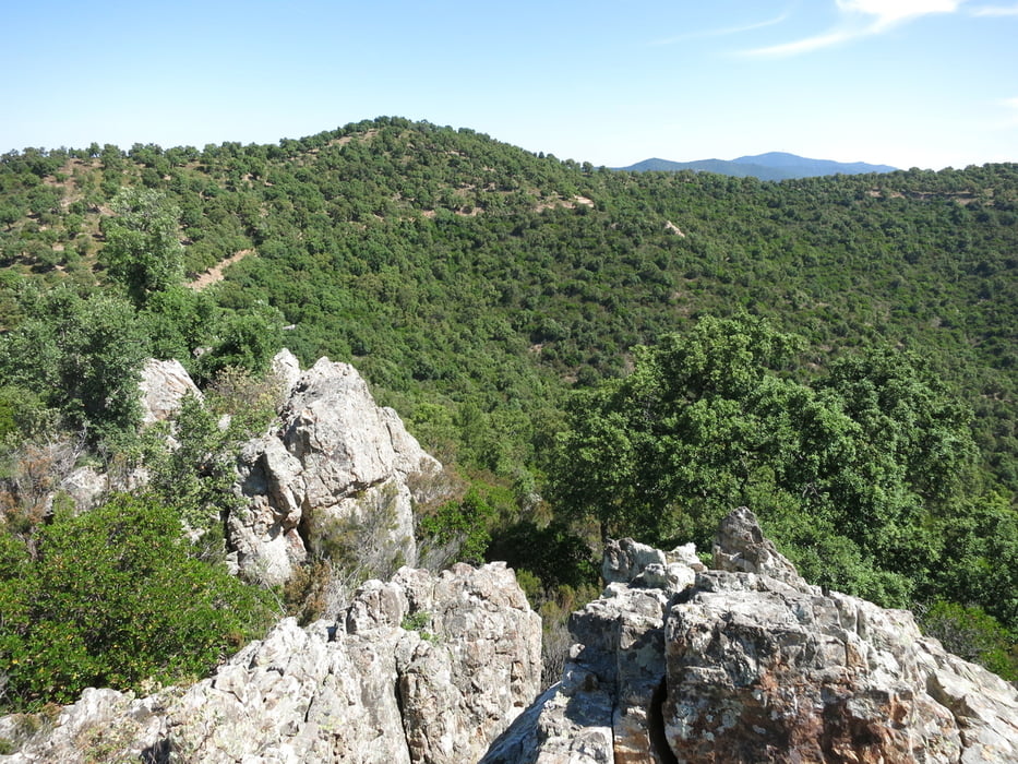

Die Aufzeichnung beginnt am Strassenpass oberhalb von Pas de Cerf, von La Londe direkt nach Norden und leicht zu finden. Die Wege sind fast alle breite staubige, gut fahrbare Pisten mit sensationellen Ausblicken. Die Auffahrt zum Forsthaus Lambert ist geteert, parallel dazu läuft westlich eine steilere Piste. Einzige technische Passage ist die steile Abfahrt bei Valcros, die leicht umfahren werden kann. Die Schleife bei der Chartreuse de Verne lehnt sich an einen Tourenvorschlag an, den ich bei gpsies gefunden hatte.
Nehmt viel Wasser mit!!!
Mapa trasy i profil wysokości
Minimum height 53 m
Maximum height 667 m
More about the tour author
|
|
rad05 |
Komentarze

GPS tracks
Trackpoints-
GPX / Garmin Map Source (gpx) download
-
TCX / Garmin Training Center® (tcx) download
-
CRS / Garmin Training Center® (crs) download
-
Google Earth (kml) download
-
G7ToWin (g7t) download
-
TTQV (trk) download
-
Overlay (ovl) download
-
Fugawi (txt) download
-
Kompass (DAV) Track (tk) download
-
Karta trasy (pdf) download
-
Original file of the author (gpx) download
More about the tour author
|
|
rad05 |
Add to my favorites
Remove from my favorites
Edit tags
Open track
My score
Rate