Login

Zapomniałeś swój login?

Cookies have to be accepted!
Your browser's cookie functionality is disabled. Please enable this functionality.

Not a member yet?

Register now
Login

Available for registred users only

Log in to use this feature.

Zapomniałeś swój login?

Cookies have to be accepted!
Your browser's cookie functionality is disabled. Please enable this functionality.

Not a member yet?

Register now
Filter
Kategorie
Advanced filters
  • Długość (km)
  • Wysokość
Zapisz filtr Reset filter

TrackRank

QRCode

Technical data

Długość31,6 km Wysokość602 m Way down596 m Czas trwania03:00 h:m Data06.06.2015
Oceny Author Krajobraz Czynnik zadowolenia Kondycja Technika

Statystyka

221 Widoki Oceny 22 Downloads / Pliki do pobrania Przeciętnie
Rate
  • Karta trasy
  • Dojazd
  • Downloads / Pliki do pobrania

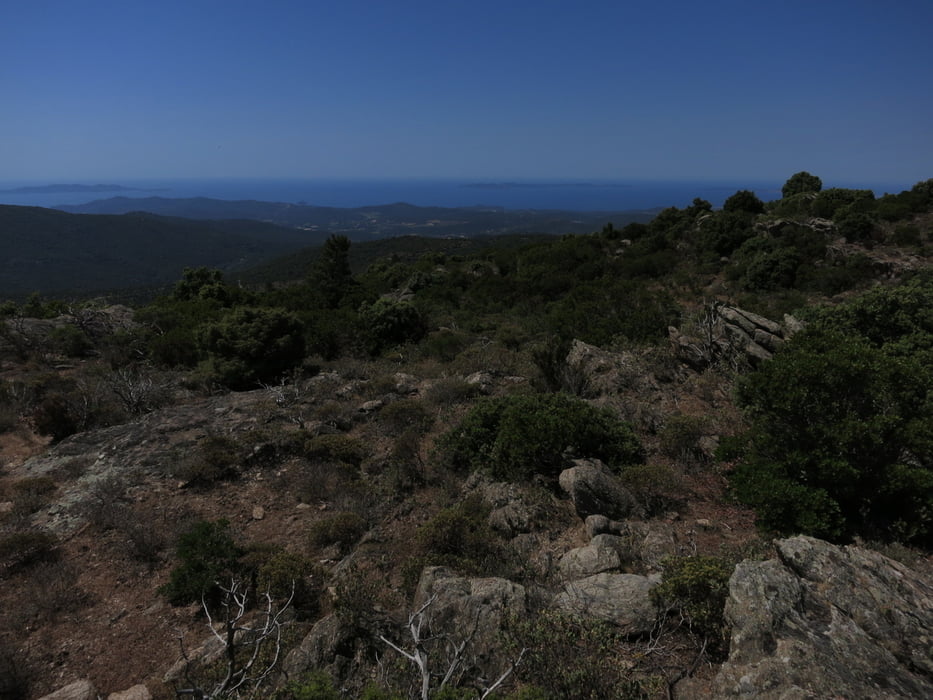
Hier habe ich einen Ausflug auf den nächsten Höhenrücken gemacht, hinter dem Tal von St. Pierrefeu und Collombieres. Die Strecke besteht wieder aus breiten, steinigen Pisten, am Anfang sehr der Sonne ausgesetzt (bis La Saute). Ein bisschen holprig ist die Abfahrt, aber keine wirkliche technische Herausforderung. Es gibt ständig "Abkürzungsmöglichkeiten" ins Tal hinunter.


Mapa trasy i profil wysokości

  • Open Street Map
  • Google
Minimum height 108 m Maximum height 577 m Widok szczegółowy

More about the tour author

rad05
Member since 2008

Send private message

Komentarze

GPS tracks

Trackpoints
  • GPX / Garmin Map Source (gpx) download
  • TCX / Garmin Training Center® (tcx) download
  • CRS / Garmin Training Center® (crs) download
  • Google Earth (kml) download
  • G7ToWin (g7t) download
  • TTQV (trk) download
  • Overlay (ovl) download
  • Fugawi (txt) download
  • Kompass (DAV) Track (tk) download
  • Karta trasy (pdf) download
  • Original file of the author (gpx) download

More about the tour author

rad05
Member since 2008

Send private message
Share track
Add to my favorites
Remove from my favorites
Edit tags
My score
Rate
Trasa: Im Hinterland der Cote d Azur
Rodzaj: Rower górski (MTB)
Długość: 31,6 km
Evaluated on:
Czas trwania:
Day(s)
Hour(s)
Minute(s)
Ocena: Krajobraz Czynnik zadowolenia Kondycja Technika