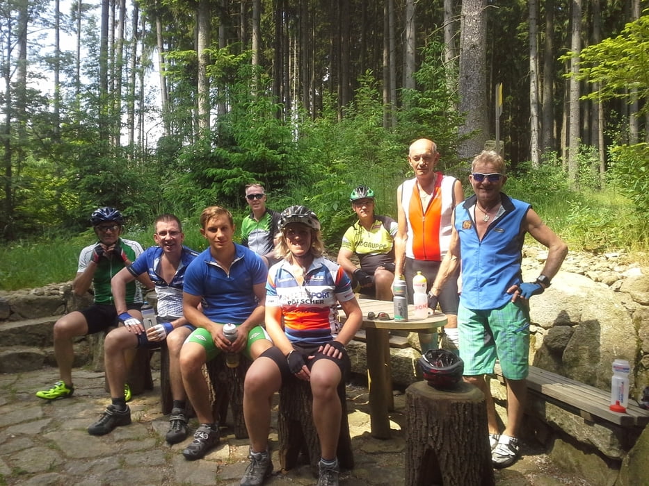
Erstmals konnte ich an einem Naturfreunde Radevent teilnehmen. Unter der ortskundigen Führung von Gerhard Friesenecker fuhren einige MTB-begeisterte Damen und Herren diese wunderschöne Tour, bei der wirklich nur kurze Asphalt-Stücke unter die Reifen kamen. Sehr empfehlenswert!
Dies ist der Track, den ich eine Woche später bei der nochmaligen Befahrung der Strecke aufgezeichnet habe. Bruttozeit: 3:05 h.
Galeria trasy
Mapa trasy i profil wysokości
Minimum height 562 m
Maximum height 811 m
Komentarze

GPS tracks
Trackpoints-
GPX / Garmin Map Source (gpx) download
-
TCX / Garmin Training Center® (tcx) download
-
CRS / Garmin Training Center® (crs) download
-
Google Earth (kml) download
-
G7ToWin (g7t) download
-
TTQV (trk) download
-
Overlay (ovl) download
-
Fugawi (txt) download
-
Kompass (DAV) Track (tk) download
-
Karta trasy (pdf) download
-
Original file of the author (tcx) download
Add to my favorites
Remove from my favorites
Edit tags
Open track
My score
Rate

