
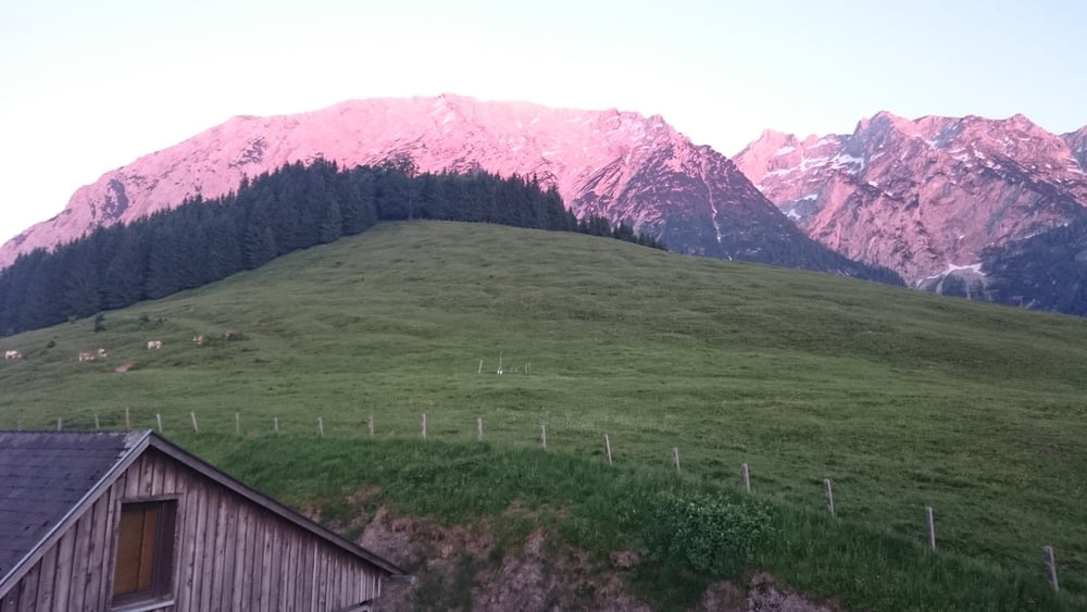

Von Bad Mitterndorf aus, den Kulm zu erklimmern ist eine besondere Freude für Schiflugfans.
Die Anfahrt führt über einen schönen Single Trail bei der Heiltherme Heilbrunn/Bad Mitterndorf. Durch den Eckwald und entlang des Krunglsbaches geht es fast eben zur Schiflugschanze Kulm.
Ab dann wird es lustig: Die Auffahrt ist für Mountainbiker sehr anstrengend und Kräfteraubend. Alternativ kann man natürlich auch das Bike am Fuße des Kulm stehen lassen und zu Fuß rauf gehen. Zunächst ist es noch eine Schotterstraße, ab dem Schanzentisch aber führt nur noch ein Wanderweg weiter hinauf. Vermutlich führt auf der anderen Seite eine Straße ganz rauf, die muss man sich aber selber suchen ;)
Viel Spaß!
Mapa trasy i profil wysokości
Minimum height 767 m
Maximum height 1010 m
More about the tour author
|
|
zwickyy |
Komentarze

Am besten man Parkt bei der Aldiana Therme in Bad Mitterndorf.
GPS tracks
Trackpoints-
GPX / Garmin Map Source (gpx) download
-
TCX / Garmin Training Center® (tcx) download
-
CRS / Garmin Training Center® (crs) download
-
Google Earth (kml) download
-
G7ToWin (g7t) download
-
TTQV (trk) download
-
Overlay (ovl) download
-
Fugawi (txt) download
-
Kompass (DAV) Track (tk) download
-
Karta trasy (pdf) download
-
Original file of the author (gpx) download
More about the tour author
|
|
zwickyy |
Add to my favorites
Remove from my favorites
Edit tags
Open track
My score
Rate