
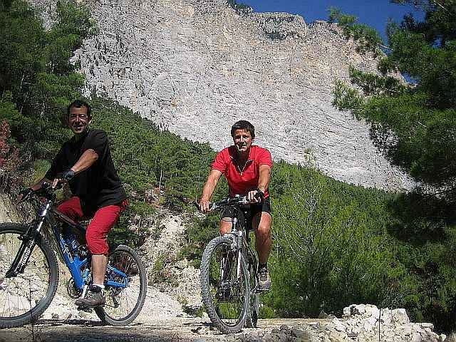

Ausgehend von der ARYKANDOS MOUNTAIN LODGE eine schöne Herausforderung für Höhenmeterfresser. Höchster Punkt 2055 Meter. Streckenbelag bis auf wenige Stücke griffig und fest. Konditionell anspruchsvoll, Abfahrten auch technisch relativ anspruchsvoll.
Super Tour für Alpenbiker.
Super Tour für Alpenbiker.
Further information at
http://www.greatoutdoorsports.com/lodge.htmGaleria trasy

Mapa trasy i profil wysokości
Minimum height 139 m
Maximum height 1951 m
More about the tour author
|
|
lykienbiker |
Komentarze

Bus nach Finike.
Abholungsmöglichkeit vom Busbahnhof nach GÖKBÜK (Arykandos Mountain Lodge)
Abholungsmöglichkeit vom Busbahnhof nach GÖKBÜK (Arykandos Mountain Lodge)
GPS tracks
Trackpoints-
GPX / Garmin Map Source (gpx) download
-
TCX / Garmin Training Center® (tcx) download
-
CRS / Garmin Training Center® (crs) download
-
Google Earth (kml) download
-
G7ToWin (g7t) download
-
TTQV (trk) download
-
Overlay (ovl) download
-
Fugawi (txt) download
-
Kompass (DAV) Track (tk) download
-
Karta trasy (pdf) download
-
Original file of the author (gpx) download
More about the tour author
|
|
lykienbiker |
Add to my favorites
Remove from my favorites
Edit tags
Open track
My score
Rate