Login

Zapomniałeś swój login?

Cookies have to be accepted!
Your browser's cookie functionality is disabled. Please enable this functionality.

Not a member yet?

Register now
Login

Available for registred users only

Log in to use this feature.

Zapomniałeś swój login?

Cookies have to be accepted!
Your browser's cookie functionality is disabled. Please enable this functionality.

Not a member yet?

Register now
Filter
Kategorie
Advanced filters
  • Długość (km)
  • Wysokość
Zapisz filtr Reset filter

TrackRank

QRCode

Technical data

Długość36,3 km Wysokość1091 m Way down1090 m Czas trwania02:45 h:m Data12.06.2015
Oceny Author Krajobraz Czynnik zadowolenia Kondycja Technika

Statystyka

570 Widoki Oceny 70 Downloads / Pliki do pobrania Przeciętnie
Rate
  • Karta trasy
  • Dojazd
  • Downloads / Pliki do pobrania

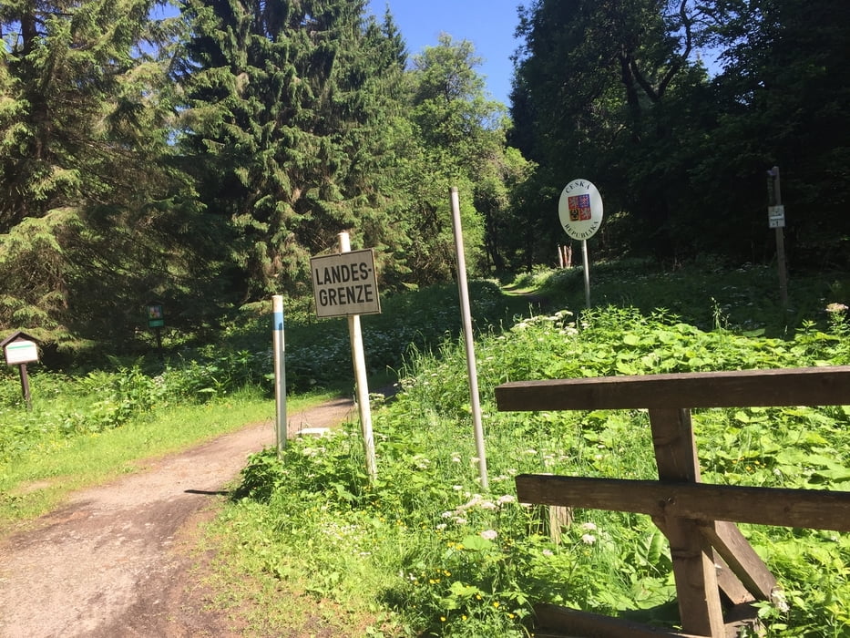
Tolle Tour mit Start Zwieslerwaldhaus in Deutschland. Grenzüberschreitung bei Ferdinandsthal über die Deffernik. Von da steiler und langer Anstieg bis zum Pod Polem. Von da Abfahrt bis Hurkenthal und weiter Anstieg zum Lakensee. Vom Lakensee Abfahrt bis Nova Hurka und von dort entlang der ehemaligen Militiärstraße bis Wanderparkplatz Rykota. Von dort zurück nach Zelesna Ruda und zur Grenze bis nach Zwieslerwaldhaus.
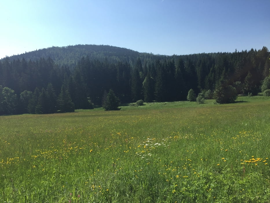
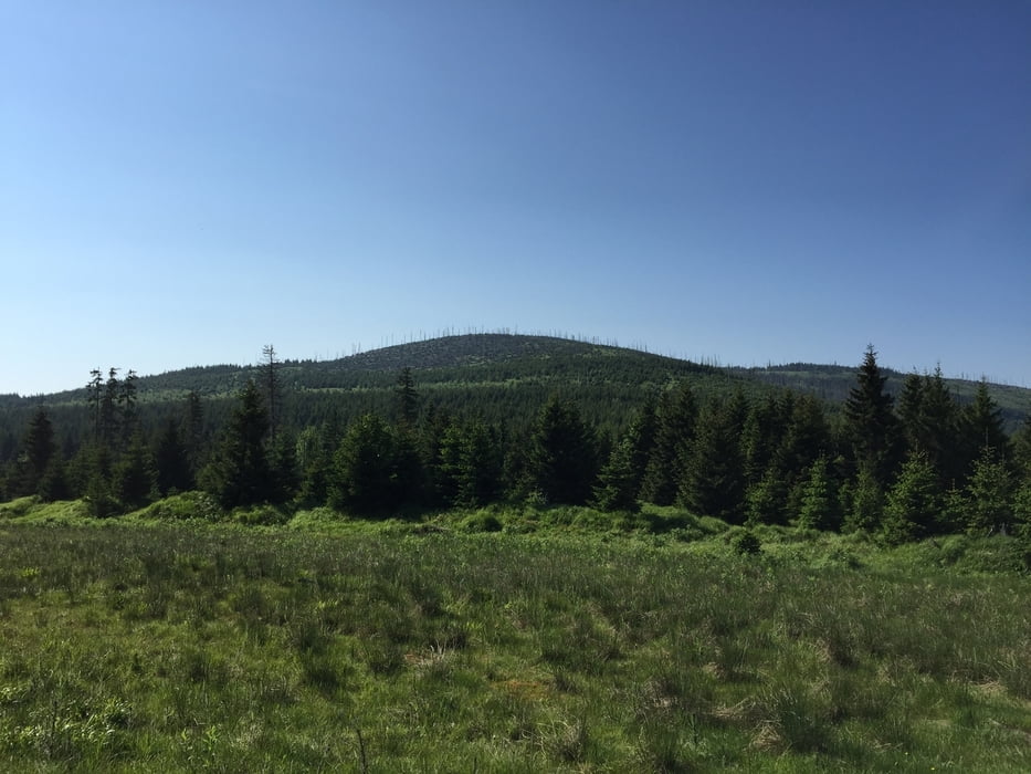
 

Galeria trasy

Mapa trasy i profil wysokości

  • Open Street Map
  • Google
Minimum height 670 m Maximum height 1211 m Widok szczegółowy

More about the tour author

preiste
Member since 2010

Send private message

Komentarze

P3 in Zwieslerwaldhaus

GPS tracks

Trackpoints
  • GPX / Garmin Map Source (gpx) download
  • TCX / Garmin Training Center® (tcx) download
  • CRS / Garmin Training Center® (crs) download
  • Google Earth (kml) download
  • G7ToWin (g7t) download
  • TTQV (trk) download
  • Overlay (ovl) download
  • Fugawi (txt) download
  • Kompass (DAV) Track (tk) download
  • Karta trasy (pdf) download
  • Original file of the author (tcx) download

More about the tour author

preiste
Member since 2010

Send private message
Share track
Add to my favorites
Remove from my favorites
Edit tags
My score
Rate
Trasa: Böhmerwald Tour zum Lakensee
Rodzaj: Rower górski (MTB)
Długość: 36,3 km
Evaluated on:
Czas trwania:
Day(s)
Hour(s)
Minute(s)
Ocena: Krajobraz Czynnik zadowolenia Kondycja Technika