


Eine Wanderung um das Cap de la Chèvre
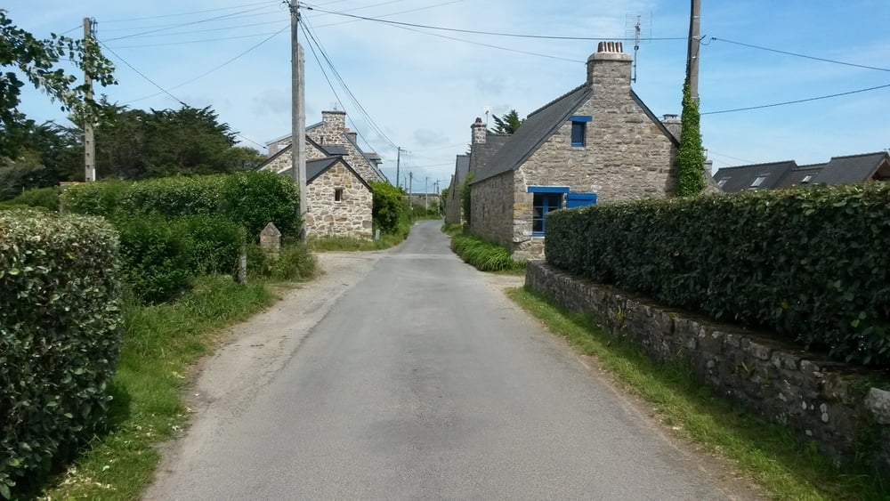
Die Wanderung startet vom Parkplatz in St. Hernot.
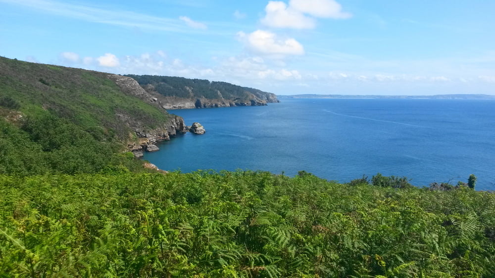
Es geht in östliche Richtung zur Küste, dort folgt man dem Sentier Cotier Nr. 34 in Richtung Süden. Der Weg gestaltet sich sehr abwechslungsreich. Es geht durch Kiefernwald, alpin anmutende Steige, Heidelandschaft und Dünen auf manchmal schmalen Pfaden, die teilweise zugewachsen sind.
Wanderschuhe sind zu empfehlen, ebenfalls bieten lange Hosen Schutz gegen stacheligen Bewuchs.
Fast auf dem gesamten Weg hat man einen eindrucksvollen Blick auf den Atlantik und die bretonische Küste.
Galeria trasy


Mapa trasy i profil wysokości
Minimum height 3 m
Maximum height 101 m
More about the tour author

|
schmitzk |
Komentarze

Anfahrt über Crozon in Richtung Morgat und dann auf der D 255 nach St. Hernot.
GPS tracks
Trackpoints-
GPX / Garmin Map Source (gpx) download
-
TCX / Garmin Training Center® (tcx) download
-
CRS / Garmin Training Center® (crs) download
-
Google Earth (kml) download
-
G7ToWin (g7t) download
-
TTQV (trk) download
-
Overlay (ovl) download
-
Fugawi (txt) download
-
Kompass (DAV) Track (tk) download
-
Karta trasy (pdf) download
-
Original file of the author (gpx) download
More about the tour author
|
|
schmitzk |
Add to my favorites
Remove from my favorites
Edit tags
Open track
My score
Rate