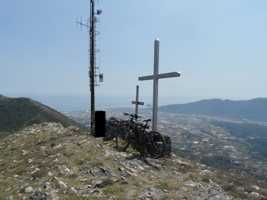
schwere ruppige Abfahrt vom Pizzo Ceresa nach Cisano Sul Neva (S3), Auffahrt über Strasse. Beim Paß geht alternativ nach 100m ein fahrbarer Wanderweg rechts zum Pizzo Ceresa, siehe Zuccerello Tour.
Die Strecke ist ähnlich ruppig wie vom Mt. Accuto nach Ceriale, kurze Stücke sind steiler, es liegen reihlich Steine im Weg.
Galeria trasy
Mapa trasy i profil wysokości
Minimum height 66 m
Maximum height 732 m
Komentarze

parken an Bar oder Friedhof Cisano sul Neva.
GPS tracks
Trackpoints-
GPX / Garmin Map Source (gpx) download
-
TCX / Garmin Training Center® (tcx) download
-
CRS / Garmin Training Center® (crs) download
-
Google Earth (kml) download
-
G7ToWin (g7t) download
-
TTQV (trk) download
-
Overlay (ovl) download
-
Fugawi (txt) download
-
Kompass (DAV) Track (tk) download
-
Karta trasy (pdf) download
-
Original file of the author (gpx) download
Add to my favorites
Remove from my favorites
Edit tags
Open track
My score
Rate

