
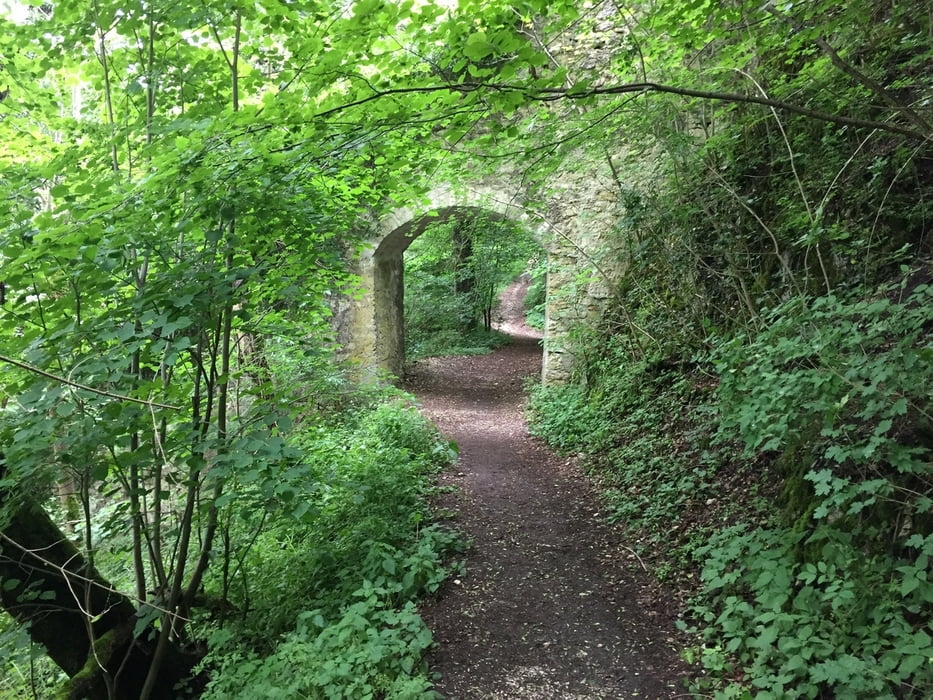

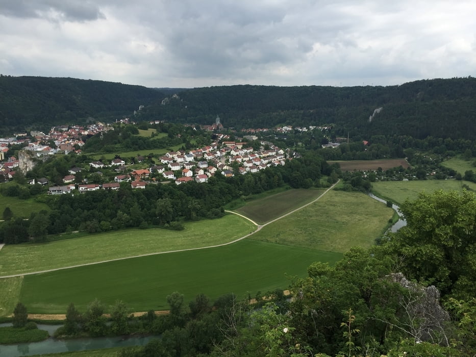
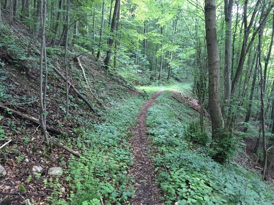
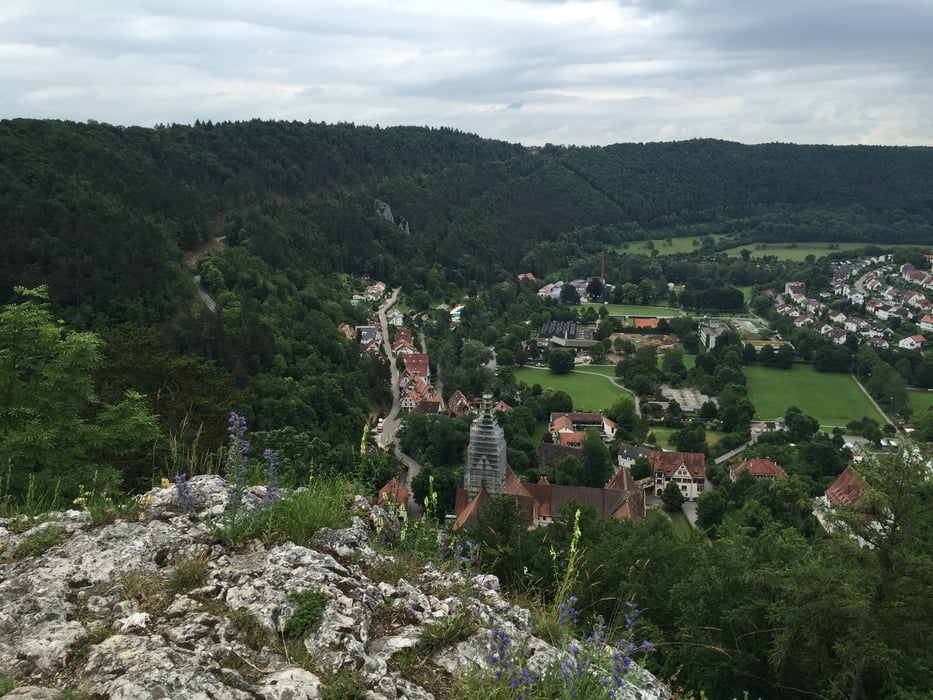
Schöne MTB Tour in und um Blaubeuren. Die Tour beinhaltet schöne Single Trails die manchmal sehr verblockt und Steinig sein können. Kleiner Tipp die Tour eignet sich nicht so gut wenn es zuvor geregnet hat, weil es auf den Steinen und Wurzeln sehr rutschig sein kann. Start und Endpunkt ist die Waldgaststätte zum Schillerstein. Die Tour fürt vorbei am Blautopf, hinauf auf den Blaufels wo man eine richtig schöne Aussicht hat über Blaubeuren und danach noch hinauf auf das Rusenschloß.
Galeria trasy

Mapa trasy i profil wysokości
Minimum height 447 m
Maximum height 659 m
More about the tour author

|
stwebi |
Komentarze

Waldgaststätte Schillerstein
GPS tracks
Trackpoints-
GPX / Garmin Map Source (gpx) download
-
TCX / Garmin Training Center® (tcx) download
-
CRS / Garmin Training Center® (crs) download
-
Google Earth (kml) download
-
G7ToWin (g7t) download
-
TTQV (trk) download
-
Overlay (ovl) download
-
Fugawi (txt) download
-
Kompass (DAV) Track (tk) download
-
Karta trasy (pdf) download
-
Original file of the author (gpx) download
More about the tour author
|
|
stwebi |
Add to my favorites
Remove from my favorites
Edit tags
Open track
My score
Rate