


Vom Haidplatz durch die Altstadt zur Eisernen Brücke und auf der Donauinsel weiter flussabwärts bis zur Nibelungenbrücke und von dort wieder auf das rechte Ufer ans Festland.
Weiter an der Donau entlang durch das Gewerbegebiet bis zur Schwabelweiser Eisenbahnbrücke.
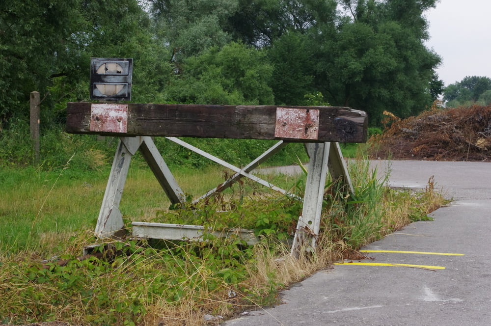
Der Aufstieg zum Radweg auf der Brücke war eine Dreckrutsche. Der Weg über die Brücke war im Gegensatz dazu eindrucksvoll. Am anderen Ufer angelangt wanderte ich auf dem Donauradweg und möglichst nahe an der Donau wieder flussaufwärts.
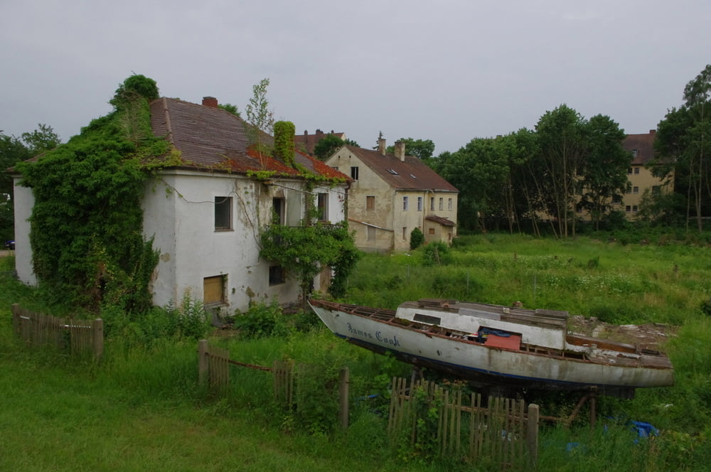
Auf der Frankenstraße überquerte ich die Regen. Danach wendete ich mich nach Süden durch den Stadtteil Stadtamhof. Über die Steinerne Brücke erreichte ich wieder die Altstadt von Regensburg. Nach einer kleinen Schleife war ich zurück in meinem Hotel am Haidplatz.
Weiter an der Donau entlang durch das Gewerbegebiet bis zur Schwabelweiser Eisenbahnbrücke.
Der Aufstieg zum Radweg auf der Brücke war eine Dreckrutsche. Der Weg über die Brücke war im Gegensatz dazu eindrucksvoll. Am anderen Ufer angelangt wanderte ich auf dem Donauradweg und möglichst nahe an der Donau wieder flussaufwärts.
Auf der Frankenstraße überquerte ich die Regen. Danach wendete ich mich nach Süden durch den Stadtteil Stadtamhof. Über die Steinerne Brücke erreichte ich wieder die Altstadt von Regensburg. Nach einer kleinen Schleife war ich zurück in meinem Hotel am Haidplatz.
Further information at
https://de.wikipedia.org/wiki/RegensburgGaleria trasy


Mapa trasy i profil wysokości
Minimum height 329 m
Maximum height 347 m
More about the tour author
|
|
Pheinz |
Komentarze

Start und Ziel im Altstadthotel Arch am Haidplatz.
GPS tracks
Trackpoints-
GPX / Garmin Map Source (gpx) download
-
TCX / Garmin Training Center® (tcx) download
-
CRS / Garmin Training Center® (crs) download
-
Google Earth (kml) download
-
G7ToWin (g7t) download
-
TTQV (trk) download
-
Overlay (ovl) download
-
Fugawi (txt) download
-
Kompass (DAV) Track (tk) download
-
Karta trasy (pdf) download
-
Original file of the author (gpx) download
More about the tour author
|
|
Pheinz |
Add to my favorites
Remove from my favorites
Edit tags
Open track
My score
Rate