Login

Zapomniałeś swój login?

Cookies have to be accepted!
Your browser's cookie functionality is disabled. Please enable this functionality.

Not a member yet?

Register now
Login

Available for registred users only

Log in to use this feature.

Zapomniałeś swój login?

Cookies have to be accepted!
Your browser's cookie functionality is disabled. Please enable this functionality.

Not a member yet?

Register now
Filter
Kategorie
Advanced filters
  • Długość (km)
  • Wysokość
Zapisz filtr Reset filter

TrackRank

QRCode

Technical data

Długość449,1 km Wysokość4527 m Way down4357 m Czas trwania8 days 0 h Data22.06.2015
Oceny Author Krajobraz Czynnik zadowolenia Kondycja Technika

Statystyka

366 Widoki Oceny 38 Downloads / Pliki do pobrania Przeciętnie
Rate
  • Karta trasy
  • Dojazd
  • Downloads / Pliki do pobrania

Diese Tour ist Teilstrecke und basiert sich auf diesem Trek - www.gpsies.com/map.do

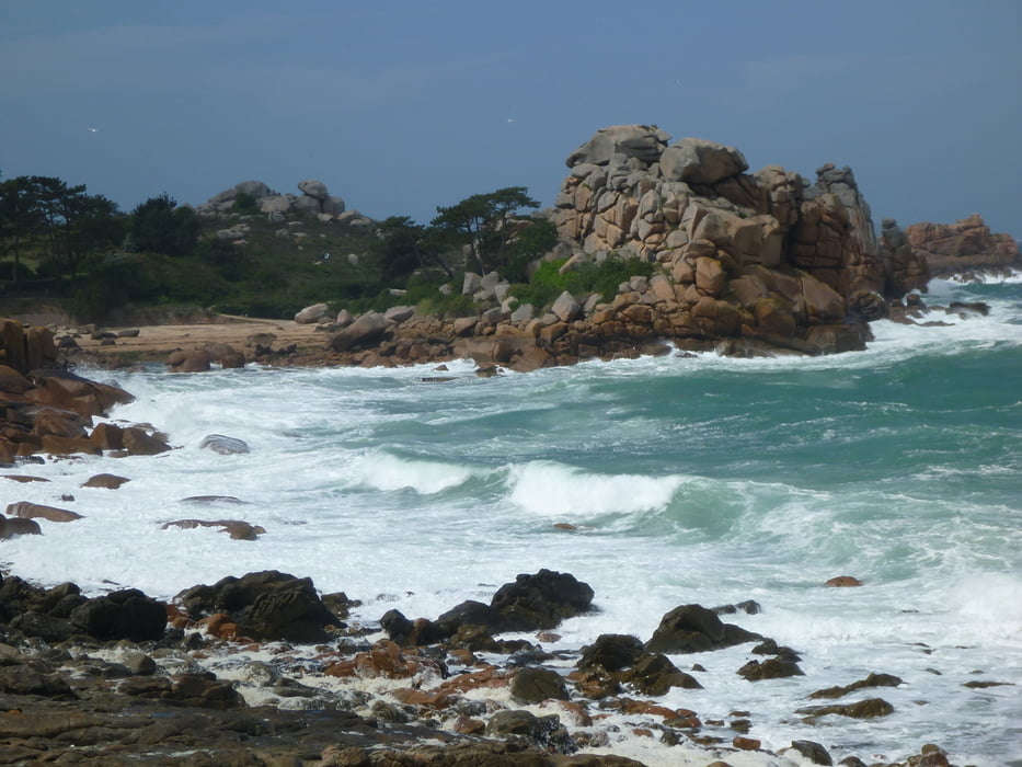
Gestartet wurde in Lannion, dann nach Osten entlang der Küste bis Mont St.Michelle und danach ging es Richtung Rennes bzw Vitre.


Further information at

http://www.trekkingbike.com/reise_touren/europa/tour-de-france-zwischen-austernbaenken-und-ruebenaeckern/a1080.html

Mapa trasy i profil wysokości

  • Open Street Map
  • Google
Minimum height -108 m Maximum height 116 m Widok szczegółowy

More about the tour author

lilu
Member since 2009

Send private message

Komentarze

Mit dem Zug bis Lannion

GPS tracks

Trackpoints
  • GPX / Garmin Map Source (gpx) download
  • TCX / Garmin Training Center® (tcx) download
  • CRS / Garmin Training Center® (crs) download
  • Google Earth (kml) download
  • G7ToWin (g7t) download
  • TTQV (trk) download
  • Overlay (ovl) download
  • Fugawi (txt) download
  • Kompass (DAV) Track (tk) download
  • Karta trasy (pdf) download
  • Original file of the author (gpx) download

More about the tour author

lilu
Member since 2009

Send private message
Share track
Add to my favorites
Remove from my favorites
Edit tags
My score
Rate
Trasa: Bretagne - Küste entlang
Rodzaj: Trasy rowerowe
Długość: 449,1 km
Evaluated on:
Czas trwania:
Day(s)
Hour(s)
Minute(s)
Ocena: Krajobraz Czynnik zadowolenia Kondycja Technika