Login

Zapomniałeś swój login?

Cookies have to be accepted!
Your browser's cookie functionality is disabled. Please enable this functionality.

Not a member yet?

Register now
Login

Available for registred users only

Log in to use this feature.

Zapomniałeś swój login?

Cookies have to be accepted!
Your browser's cookie functionality is disabled. Please enable this functionality.

Not a member yet?

Register now
Filter
Kategorie
Advanced filters
  • Długość (km)
  • Wysokość
Zapisz filtr Reset filter

TrackRank

QRCode

Technical data

Długość10,0 km Wysokość1248 m Way down1250 m Czas trwania05:30 h:m Data01.07.2015
Oceny Author Krajobraz Czynnik zadowolenia Kondycja Technika

Statystyka

879 Widoki Oceny 39 Downloads / Pliki do pobrania Przeciętnie
Rate
  • Karta trasy
  • Dojazd
  • Downloads / Pliki do pobrania

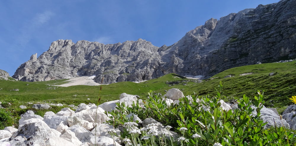
Von der Pecolalm Richtung Disteis, dort nach Westen Richtung Biwak Suringar, kurz davor wieder Richtung Osten in die Westschlucht des Montasch, Abstieg über Pipan Leiter


Galeria trasy

Mapa trasy i profil wysokości

  • Open Street Map
  • Google
Minimum height 1502 m Maximum height 2756 m Widok szczegółowy

More about the tour author

kateem
Member since 2010

Send private message

Komentarze

GPS tracks

Trackpoints
  • GPX / Garmin Map Source (gpx) download
  • TCX / Garmin Training Center® (tcx) download
  • CRS / Garmin Training Center® (crs) download
  • Google Earth (kml) download
  • G7ToWin (g7t) download
  • TTQV (trk) download
  • Overlay (ovl) download
  • Fugawi (txt) download
  • Kompass (DAV) Track (tk) download
  • Karta trasy (pdf) download
  • Original file of the author (gpx) download

More about the tour author

kateem
Member since 2010

Send private message
Share track
Add to my favorites
Remove from my favorites
Edit tags
My score
Rate
Trasa: Montasch über Findeneggweg
Rodzaj: Trasy górskie
Długość: 10,0 km
Evaluated on:
Czas trwania:
Day(s)
Hour(s)
Minute(s)
Ocena: Krajobraz Czynnik zadowolenia Kondycja Technika