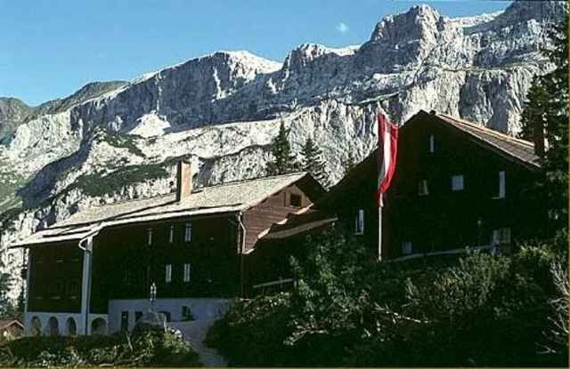
Sollte man beim Aktivpark parken, kann man Richtung Zelfen nach Taschaggungs fahren. Dort beginnt dan der Anstieg in Richtung Latschau. Die gps Daten sollten eine gute Hilfe bei der bewältigung der Waldwege sein. Nach längerem Anstieg kommt man auf die Strasse, welche direkt zur Lindauer Hütte führt.
Further information at
http://www.alpenverein-lindau.de/huetten/lindauer.htmlMapa trasy i profil wysokości
Minimum height 672 m
Maximum height 1749 m
Komentarze

Parkmöglichkeiten gibt es beim Aktivpark. Dort befindet sich auch das Fussballstadion und das Schwimmbad.
GPS tracks
Trackpoints-
GPX / Garmin Map Source (gpx) download
-
TCX / Garmin Training Center® (tcx) download
-
CRS / Garmin Training Center® (crs) download
-
Google Earth (kml) download
-
G7ToWin (g7t) download
-
TTQV (trk) download
-
Overlay (ovl) download
-
Fugawi (txt) download
-
Kompass (DAV) Track (tk) download
-
Karta trasy (pdf) download
-
Original file of the author (gpx) download
Add to my favorites
Remove from my favorites
Edit tags
Open track
My score
Rate

