


Ich wanderte zuerst durch das alte Oberböbingen um am Ortsende auf der alten Heubacher Straße entlang dann auf einem neuen Flurbereinigungsweg in die Feldlage einzutauchen.
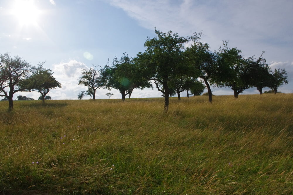
Südlich von Oberböbingen erreichte ich die Gewächshäuser und kam dann in das Tal des Schlierbaches.
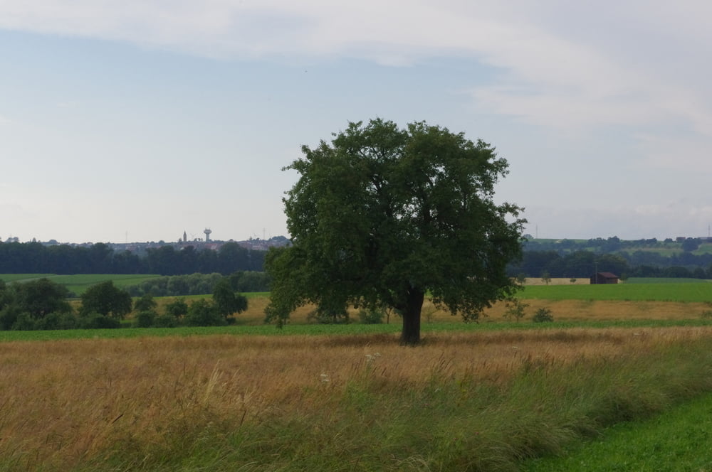
Anschließend durchquerte ich das Bruckholz und wndete mich am Südrand des Waldes nach Westen um tangential an Beiswang vorbei zu gehen.
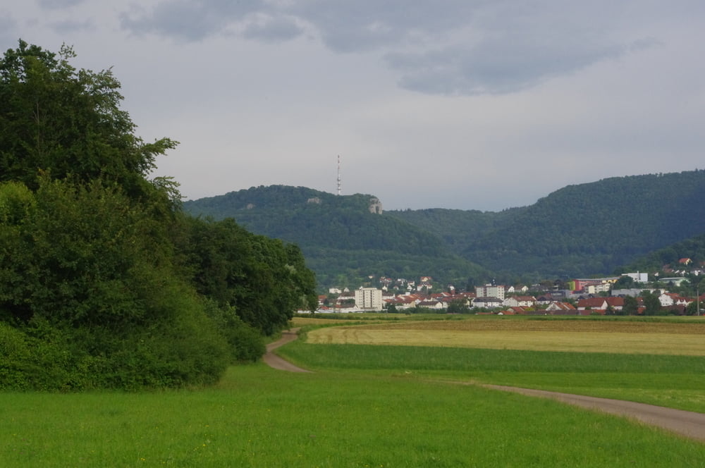
Ich wanderte dann auf dem Verbindungssträßchen an der Beiswanger Kapelle vorbei in Richtung Unterböbingen.
Bevor der Weg bergab in den Ort verlief bog ich wieder auf einen neuen Weg ab der mich über die Ungerhalde nach Oberböbingen führte.
Südlich von Oberböbingen erreichte ich die Gewächshäuser und kam dann in das Tal des Schlierbaches.
Anschließend durchquerte ich das Bruckholz und wndete mich am Südrand des Waldes nach Westen um tangential an Beiswang vorbei zu gehen.
Ich wanderte dann auf dem Verbindungssträßchen an der Beiswanger Kapelle vorbei in Richtung Unterböbingen.
Bevor der Weg bergab in den Ort verlief bog ich wieder auf einen neuen Weg ab der mich über die Ungerhalde nach Oberböbingen führte.
Further information at
http://www.boebingen.de/index.php?id=110Galeria trasy
Mapa trasy i profil wysokości
Minimum height 402 m
Maximum height 439 m
More about the tour author
|
|
Pheinz |
Komentarze

Start und Ziel an der Michaelskirch in Oberböbingen.
GPS tracks
Trackpoints-
GPX / Garmin Map Source (gpx) download
-
TCX / Garmin Training Center® (tcx) download
-
CRS / Garmin Training Center® (crs) download
-
Google Earth (kml) download
-
G7ToWin (g7t) download
-
TTQV (trk) download
-
Overlay (ovl) download
-
Fugawi (txt) download
-
Kompass (DAV) Track (tk) download
-
Karta trasy (pdf) download
-
Original file of the author (gpx) download
More about the tour author
|
|
Pheinz |
Add to my favorites
Remove from my favorites
Edit tags
Open track
My score
Rate