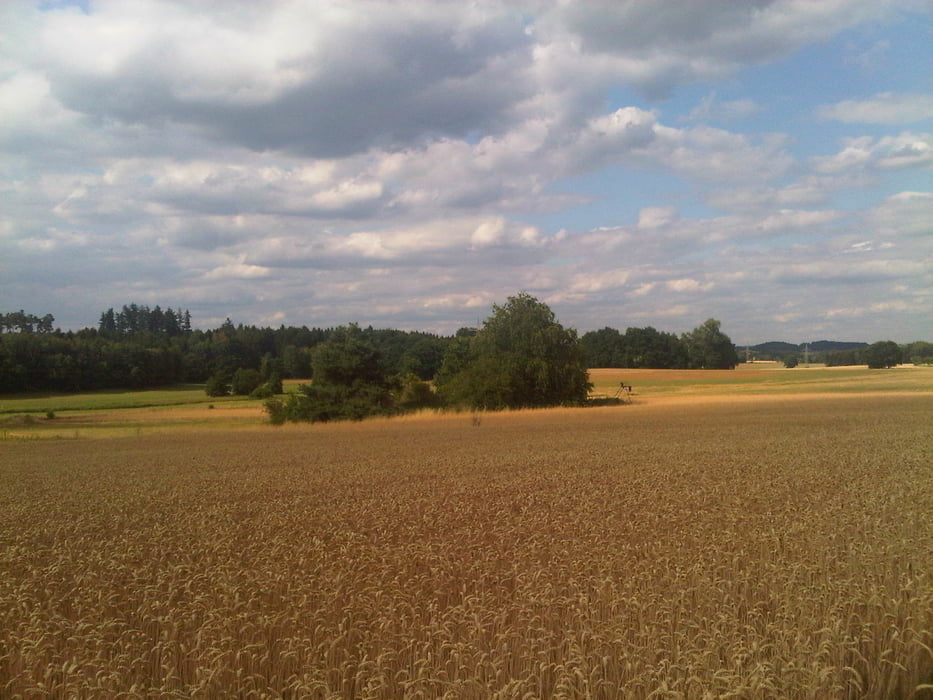
Diese kliene Runde führte mich durch das Blies- und das schöne Taubental nach Kirkel-Neuhäusel.
Zurück fuhr ich dann auf dem Radweg durch die Feldlage nach Kirkel, durch den Bahnhof und ein Stück an der Kaiserstraße entlang.
Ich bog dann scharf rechts ab und nahm den Radweg am Biotop vorbei durch das Bliestal nach Schwarzenbach zurück.
Zurück fuhr ich dann auf dem Radweg durch die Feldlage nach Kirkel, durch den Bahnhof und ein Stück an der Kaiserstraße entlang.
Ich bog dann scharf rechts ab und nahm den Radweg am Biotop vorbei durch das Bliestal nach Schwarzenbach zurück.
Further information at
https://de.wikipedia.org/wiki/Saarpfalz-KreisGaleria trasy
Mapa trasy i profil wysokości
Minimum height 232 m
Maximum height 328 m
Komentarze

Start und Ziel in Schwarzenbach.
GPS tracks
Trackpoints-
GPX / Garmin Map Source (gpx) download
-
TCX / Garmin Training Center® (tcx) download
-
CRS / Garmin Training Center® (crs) download
-
Google Earth (kml) download
-
G7ToWin (g7t) download
-
TTQV (trk) download
-
Overlay (ovl) download
-
Fugawi (txt) download
-
Kompass (DAV) Track (tk) download
-
Karta trasy (pdf) download
-
Original file of the author (gpx) download
Add to my favorites
Remove from my favorites
Edit tags
Open track
My score
Rate


