
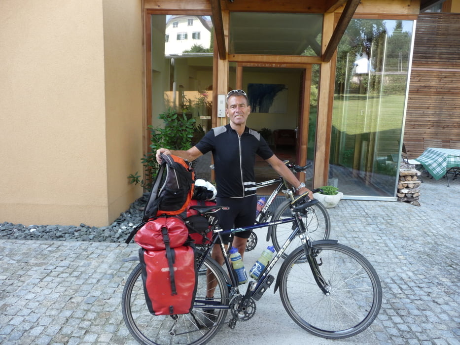

Unsere Tour führt heute in das italienische Örtchen Tarvisio. Bis dorthin sind rund 33 Kilometer. Zunächst fahren wir über einen schattenspendenen Radweg entlang der Gail. Leider müssen wir bei Fürnitz wegen Bauarbeiten auf dem Radweg einen Umweg in Kauf nehmen. Bei Erlendorf kommen wir auf den ursprünglichen Weg zurück. Hinter Arnoldstein fahren wir entlang der Bundesstrasse leicht bergauf. Nach dem Überqueren der Grenze müssen wir nochmal einen kräftigen Anstieg in Kauf nehmen, bevor wir auf der alten Bahnstrecke nach Tarvisio radeln.
Galeria trasy

Mapa trasy i profil wysokości
Minimum height 464 m
Maximum height 776 m
More about the tour author
|
|
lolue |
Komentarze

GPS tracks
Trackpoints-
GPX / Garmin Map Source (gpx) download
-
TCX / Garmin Training Center® (tcx) download
-
CRS / Garmin Training Center® (crs) download
-
Google Earth (kml) download
-
G7ToWin (g7t) download
-
TTQV (trk) download
-
Overlay (ovl) download
-
Fugawi (txt) download
-
Kompass (DAV) Track (tk) download
-
Karta trasy (pdf) download
-
Original file of the author (gpx) download
More about the tour author
|
|
lolue |
Add to my favorites
Remove from my favorites
Edit tags
Open track
My score
Rate