Login

Zapomniałeś swój login?

Cookies have to be accepted!
Your browser's cookie functionality is disabled. Please enable this functionality.

Not a member yet?

Register now
Login

Available for registred users only

Log in to use this feature.

Zapomniałeś swój login?

Cookies have to be accepted!
Your browser's cookie functionality is disabled. Please enable this functionality.

Not a member yet?

Register now
Filter
Kategorie
Advanced filters
  • Długość (km)
  • Wysokość
Zapisz filtr Reset filter

TrackRank

QRCode

Technical data

Długość11,8 km Wysokość1133 m Way down1101 m Czas trwania04:17 h:m Data21.07.2015
Oceny Author Krajobraz Czynnik zadowolenia Kondycja Technika

Statystyka

447 Widoki Oceny 28 Downloads / Pliki do pobrania Przeciętnie
Rate
  • Karta trasy
  • Dojazd
  • Downloads / Pliki do pobrania

Von Mühlegg zur Bizathütte weiter zur Filgerhütte und dann die Rislahner Scharte hoch.

Mann müsste auch noch auf den Kreuzkofel können, wir haben aber den Weg verpasst.

der Abstieg geht nun zur Holzer Böden Hütte weiter zur Bizathütte, der Weg ist mit Schnitzereien

gespickt. nun weiter zum Ausgangspunkt.
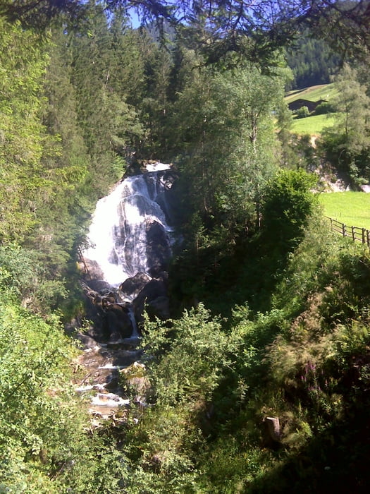
 

Galeria trasy

Mapa trasy i profil wysokości

  • Open Street Map
  • Google
Minimum height 1021 m Maximum height 2158 m Widok szczegółowy

More about the tour author

SuchdenFlow
Member since 2011

Send private message

Komentarze

Mühlegg ist sehr gut mit dem öffentlichen Bus anzufahren.


GPS tracks

Trackpoints
  • GPX / Garmin Map Source (gpx) download
  • TCX / Garmin Training Center® (tcx) download
  • CRS / Garmin Training Center® (crs) download
  • Google Earth (kml) download
  • G7ToWin (g7t) download
  • TTQV (trk) download
  • Overlay (ovl) download
  • Fugawi (txt) download
  • Kompass (DAV) Track (tk) download
  • Karta trasy (pdf) download
  • Original file of the author (gpx) download

More about the tour author

SuchdenFlow
Member since 2011

Send private message
Share track
Add to my favorites
Remove from my favorites
Edit tags
My score
Rate
Trasa: Rislahner Scharte
Rodzaj: Wędrówki
Długość: 11,8 km
Evaluated on:
Czas trwania:
Day(s)
Hour(s)
Minute(s)
Ocena: Krajobraz Czynnik zadowolenia Kondycja Technika