Login

Zapomniałeś swój login?

Cookies have to be accepted!
Your browser's cookie functionality is disabled. Please enable this functionality.

Not a member yet?

Register now
Login

Available for registred users only

Log in to use this feature.

Zapomniałeś swój login?

Cookies have to be accepted!
Your browser's cookie functionality is disabled. Please enable this functionality.

Not a member yet?

Register now
Filter
Kategorie
Advanced filters
  • Długość (km)
  • Wysokość
Zapisz filtr Reset filter

TrackRank

QRCode

Technical data

Długość37,0 km Wysokość365 m Way down365 m Czas trwania02:00 h:m Data22.07.2015
Oceny Author Krajobraz Czynnik zadowolenia Kondycja Technika

Statystyka

254 Widoki Oceny 34 Downloads / Pliki do pobrania Przeciętnie
Rate
  • Karta trasy
  • Dojazd
  • Downloads / Pliki do pobrania

zum Schwimmen nach Herlazhofen ins Moorbad,

oder am Badsee in Beuren.
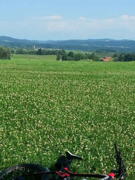
Leicht, aber schön 

Achtung: es sollte ein paar Tage nicht geregnet haben!!!


Galeria trasy

Mapa trasy i profil wysokości

  • Open Street Map
  • Google
Minimum height 650 m Maximum height 720 m Widok szczegółowy

More about the tour author

urgesimi
Member since 2009

Send private message

Komentarze

GPS tracks

Trackpoints
  • GPX / Garmin Map Source (gpx) download
  • TCX / Garmin Training Center® (tcx) download
  • CRS / Garmin Training Center® (crs) download
  • Google Earth (kml) download
  • G7ToWin (g7t) download
  • TTQV (trk) download
  • Overlay (ovl) download
  • Fugawi (txt) download
  • Kompass (DAV) Track (tk) download
  • Karta trasy (pdf) download
  • Original file of the author (gpx) download

More about the tour author

urgesimi
Member since 2009

Send private message
Share track
Add to my favorites
Remove from my favorites
Edit tags
My score
Rate
Trasa: Herlazhofen
Rodzaj: Rower górski (MTB)
Długość: 37,0 km
Evaluated on:
Czas trwania:
Day(s)
Hour(s)
Minute(s)
Ocena: Krajobraz Czynnik zadowolenia Kondycja Technika