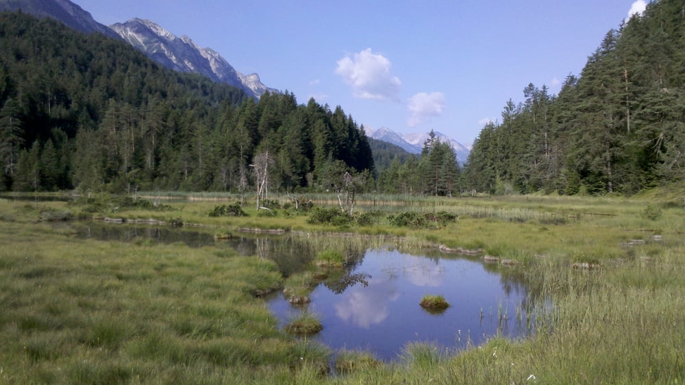
Der andere Ufer der Plansee ist viel angenehmer. Das Radfahren dort ist zwar nicht erlaubt (Fußweg), aber auserhalb der Wochenenden gut möglich.
Weiter ging's Richtung Füssener Seen, der Track war leider nicht komplett aufgenommen :(
Sehr schöner Tour mit vielen Bademöglichkeiten, mit Erdbeeren und Himbeeren unterwegs.
Die Höhenmeter sind automatische Werte, die durch gps-tour.info entstanden sind, ich glaube sie sind niedriger in Wirklichkeit.
Galeria trasy
Mapa trasy i profil wysokości
Minimum height 702 m
Maximum height 1458 m
Komentarze

GPS tracks
Trackpoints-
GPX / Garmin Map Source (gpx) download
-
TCX / Garmin Training Center® (tcx) download
-
CRS / Garmin Training Center® (crs) download
-
Google Earth (kml) download
-
G7ToWin (g7t) download
-
TTQV (trk) download
-
Overlay (ovl) download
-
Fugawi (txt) download
-
Kompass (DAV) Track (tk) download
-
Karta trasy (pdf) download
-
Original file of the author (gpx) download
Add to my favorites
Remove from my favorites
Edit tags
Open track
My score
Rate


