
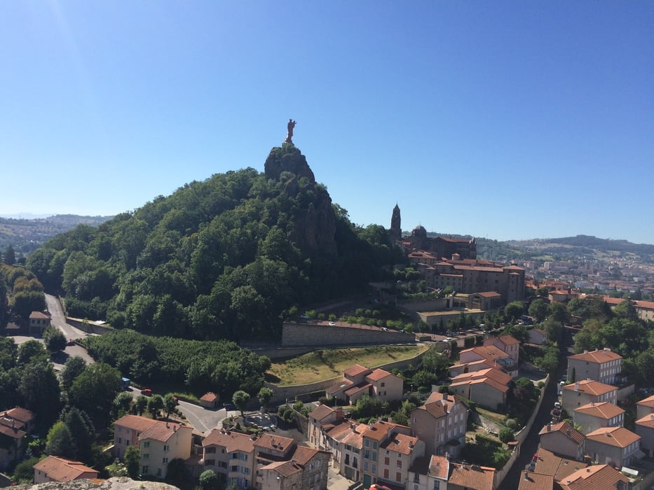

This trip leads from Le-Puy-en-Velay in the Département Haute-Loire over Mende in the Département Lozère to Millau in the Département of Aveyron. It passes through the valleys of the Loire, Lot, L'Allier and the Tarn. The last part of the route is in the spectacular Gorges du Tarn, with magnificent views and beutiful villages. More than 60% of the route consists of low traffic paved roads, about 20% of two-lane paved roads with somewhat more dense traffic (in particular in the Gorges du Tarn), and about 20% of gravel roads, most of which are in good condition for riding a bicycle (some parts of the travel roads are a bit bumpy, but doable). The route is 230 km in total.
Galeria trasy


Mapa trasy i profil wysokości
Minimum height 279 m
Maximum height 1433 m
More about the tour author

|
WillemBroekaert |
Komentarze

GPS tracks
Trackpoints-
GPX / Garmin Map Source (gpx) download
-
TCX / Garmin Training Center® (tcx) download
-
CRS / Garmin Training Center® (crs) download
-
Google Earth (kml) download
-
G7ToWin (g7t) download
-
TTQV (trk) download
-
Overlay (ovl) download
-
Fugawi (txt) download
-
Kompass (DAV) Track (tk) download
-
Karta trasy (pdf) download
-
Original file of the author (gpx) download
More about the tour author
|
|
WillemBroekaert |
Add to my favorites
Remove from my favorites
Edit tags
Open track
My score
Rate