

Die Strecke führt fast nur durch den Wald und ist mit schönen Trails bestückt, die aufgrund der niedrigen Höhenmeter eher kurz aber dafür sehr schön sind.
Unten bei der Hochfilzerhütte (Schiwiese) gleich rechts neben der Hütte richtung Purbach (Schild) den Waldweg hinauf fahren und nicht wie ich laut GPS Track links.
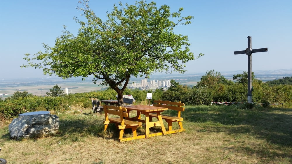
Galeria trasy


Mapa trasy i profil wysokości
Minimum height 219 m
Maximum height 337 m
More about the tour author

|
Lukeride |
Komentarze

GPS tracks
Trackpoints-
GPX / Garmin Map Source (gpx) download
-
TCX / Garmin Training Center® (tcx) download
-
CRS / Garmin Training Center® (crs) download
-
Google Earth (kml) download
-
G7ToWin (g7t) download
-
TTQV (trk) download
-
Overlay (ovl) download
-
Fugawi (txt) download
-
Kompass (DAV) Track (tk) download
-
Karta trasy (pdf) download
-
Original file of the author (gpx) download
More about the tour author
|
|
Lukeride |
Add to my favorites
Remove from my favorites
Edit tags
Open track
My score
Rate