Login

Zapomniałeś swój login?

Cookies have to be accepted!
Your browser's cookie functionality is disabled. Please enable this functionality.

Not a member yet?

Register now
Login

Available for registred users only

Log in to use this feature.

Zapomniałeś swój login?

Cookies have to be accepted!
Your browser's cookie functionality is disabled. Please enable this functionality.

Not a member yet?

Register now
Filter
Kategorie
Advanced filters
  • Długość (km)
  • Wysokość
Zapisz filtr Reset filter

TrackRank

QRCode

Technical data

Długość33,5 km Wysokość133 m Way down133 m Czas trwania00:00 h:m Data05.08.2015
Oceny Author Krajobraz Czynnik zadowolenia Kondycja Technika

Statystyka

375 Widoki Oceny 58 Downloads / Pliki do pobrania Przeciętnie
Rate
  • Karta trasy
  • Dojazd
  • Downloads / Pliki do pobrania


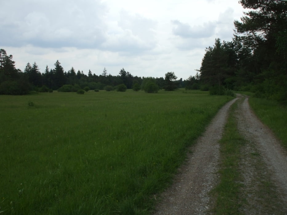
Das ist eine Fahrradrundtour im Augsburger Süden rund um den Lech vom Hochablass bis zur Staustufe 23.

Das Besondere an dieser Tour ist, dass es von den Wildpferden bis zur Heide, vom Biberlehrpfad bis zum Eiskanal keine wesentliche (Natur-)besonderheit auslässt und Badegelegenheiten in den Seen bietet sowie eine Reihe von Biergärten am Weg.


Das taugt besonders für einen Familienausflug.

Viel Spaß!

Galeria trasy

Mapa trasy i profil wysokości

  • Open Street Map
  • Google
Minimum height 484 m Maximum height 522 m Widok szczegółowy

More about the tour author

wiesmanns
Member since 2012

Send private message

Komentarze


Einsteigen in die Tour kann man überall.

GPS tracks

Trackpoints
  • GPX / Garmin Map Source (gpx) download
  • TCX / Garmin Training Center® (tcx) download
  • CRS / Garmin Training Center® (crs) download
  • Google Earth (kml) download
  • G7ToWin (g7t) download
  • TTQV (trk) download
  • Overlay (ovl) download
  • Fugawi (txt) download
  • Kompass (DAV) Track (tk) download
  • Karta trasy (pdf) download
  • Original file of the author (gpx) download

More about the tour author

wiesmanns
Member since 2012

Send private message
Share track
Add to my favorites
Remove from my favorites
Edit tags
My score
Rate
Trasa: Rund um den Lech im Süden von Augsburg
Rodzaj: Trasy rowerowe
Długość: 33,5 km
Evaluated on:
Czas trwania:
Day(s)
Hour(s)
Minute(s)
Ocena: Krajobraz Czynnik zadowolenia Kondycja Technika