Login

Zapomniałeś swój login?

Cookies have to be accepted!
Your browser's cookie functionality is disabled. Please enable this functionality.

Not a member yet?

Register now
Login

Available for registred users only

Log in to use this feature.

Zapomniałeś swój login?

Cookies have to be accepted!
Your browser's cookie functionality is disabled. Please enable this functionality.

Not a member yet?

Register now
Filter
Kategorie
Advanced filters
  • Długość (km)
  • Wysokość
Zapisz filtr Reset filter

TrackRank

QRCode

Technical data

Długość30,5 km Wysokość1235 m Way down641 m Czas trwania03:40 h:m Data06.08.2015
Oceny Author Krajobraz Czynnik zadowolenia Kondycja Technika

Statystyka

1186 Widoki Oceny 143 Downloads / Pliki do pobrania Przeciętnie
Rate
  • Karta trasy
  • Dojazd
  • Downloads / Pliki do pobrania

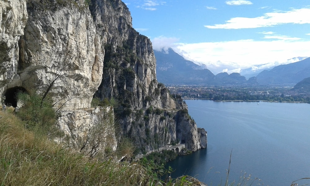
Pregasina-Riva-Arco-San Martino-Braila-Malga Zanga

Gigantische Abfahrt zum Gardasee - heute mit Sonne! In Riva und in Arco Hilfe für mein invalides Navi gesucht. Einer gibt mir den Tipp, es im Reis auszutrocknen - ist einen Versuch wert.
Von Arco hinauf zunächst Asphalt, dann grober bis feiner, loser Schotter. Kraftraubend, aber schön!
In Malga Zanga (kurz vor Santa Barbara) überraschend eingekehrt, es schaut schon wieder nach Regen aus…
Die Nacht zuvor gab es wirklich ein Erdbeben - ich hab mich also nicht getäuscht.
Malga Zanga NF 40€, schön
 

Galeria trasy

Mapa trasy i profil wysokości

  • Open Street Map
  • Google
Minimum height 66 m Maximum height 1147 m Widok szczegółowy

More about the tour author

mitter
Member since 2008

Send private message

Komentarze

Start in Pregasina 400 Meter über dem Gardasee beim netten Albergo Rosalpina.


GPS tracks

Trackpoints
  • GPX / Garmin Map Source (gpx) download
  • TCX / Garmin Training Center® (tcx) download
  • CRS / Garmin Training Center® (crs) download
  • Google Earth (kml) download
  • G7ToWin (g7t) download
  • TTQV (trk) download
  • Overlay (ovl) download
  • Fugawi (txt) download
  • Kompass (DAV) Track (tk) download
  • Karta trasy (pdf) download
  • Original file of the author (gpx) download

More about the tour author

mitter
Member since 2008

Send private message
Share track
Add to my favorites
Remove from my favorites
Edit tags
My score
Rate
Trasa: Malga Zanga (Dachi 13) 150802
Rodzaj: Rower górski (MTB)
Długość: 30,5 km
Evaluated on:
Czas trwania:
Day(s)
Hour(s)
Minute(s)
Ocena: Krajobraz Czynnik zadowolenia Kondycja Technika