


Start der Tour in Rohrbach in Oberösterreich. Über das Gasthaus Mosthütte geht es ins weltbekannte „Kreu“ runter und von dort auf der alten HaslacherStraße nach Haslach an der Mühl.
Stärkung beim Nah&Frisch in Haslach an der Mühl.
Weiter auf Asphalt gegen Böhmerwaldhauptkamm. Kurz vor dem Hauptkamm kann noch bei einer heiligen Quelle Wasser gebunkert werden.
Übertritt Grenze in die CZ – weiter zum See. Am See entlang in Richtung Yissy Brod – schöne Strecke – teils neben einer Bahntrasse – sehr flowiger Trail.
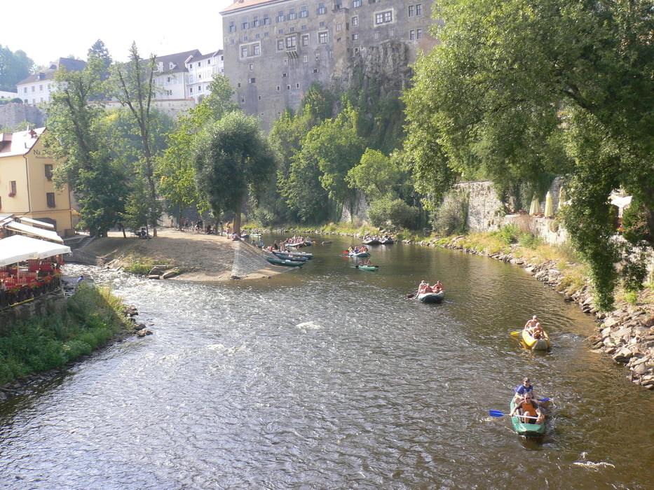
Von Yissy Brod weiter ins Moldautal hinein - auf dem Wanderweg Nr 12 gehts auf und ab nach Krumau hinein.
Galeria trasy


Mapa trasy i profil wysokości
Minimum height 417 m
Maximum height 913 m
More about the tour author
|
|
Hoar |
Komentarze

GPS tracks
Trackpoints-
GPX / Garmin Map Source (gpx) download
-
TCX / Garmin Training Center® (tcx) download
-
CRS / Garmin Training Center® (crs) download
-
Google Earth (kml) download
-
G7ToWin (g7t) download
-
TTQV (trk) download
-
Overlay (ovl) download
-
Fugawi (txt) download
-
Kompass (DAV) Track (tk) download
-
Karta trasy (pdf) download
-
Original file of the author (gpx) download
More about the tour author
|
|
Hoar |
Add to my favorites
Remove from my favorites
Edit tags
Open track
My score
Rate