Login

Zapomniałeś swój login?

Cookies have to be accepted!
Your browser's cookie functionality is disabled. Please enable this functionality.

Not a member yet?

Register now
Login

Available for registred users only

Log in to use this feature.

Zapomniałeś swój login?

Cookies have to be accepted!
Your browser's cookie functionality is disabled. Please enable this functionality.

Not a member yet?

Register now
Filter
Kategorie
Advanced filters
  • Długość (km)
  • Wysokość
Zapisz filtr Reset filter

TrackRank

QRCode

Technical data

Długość57,4 km Wysokość860 m Way down718 m Czas trwania05:00 h:m Data09.08.2015
Oceny Author Krajobraz Czynnik zadowolenia Kondycja Technika

Statystyka

294 Widoki Oceny 36 Downloads / Pliki do pobrania Przeciętnie
Rate
  • Karta trasy
  • Dojazd
  • Downloads / Pliki do pobrania

Von Krumau nach Rohrbach.


Start in Krumau – einrollen auf einer gemütlichen Landstraße – später Hauptstraße – jedoch sehr breit – kein Problem mit dem Verkehr.

Danach schwerer Aufstieg in Richtung Böhmerwald.

Ein schönes Biotop wird passiert und in Frybruck wieder der Moldaustausee überquert.

Auf und ab im Mühlviertel und schlussendlich Endstation Mosthütte in Rohrbach. Zeit zur Einkehr.
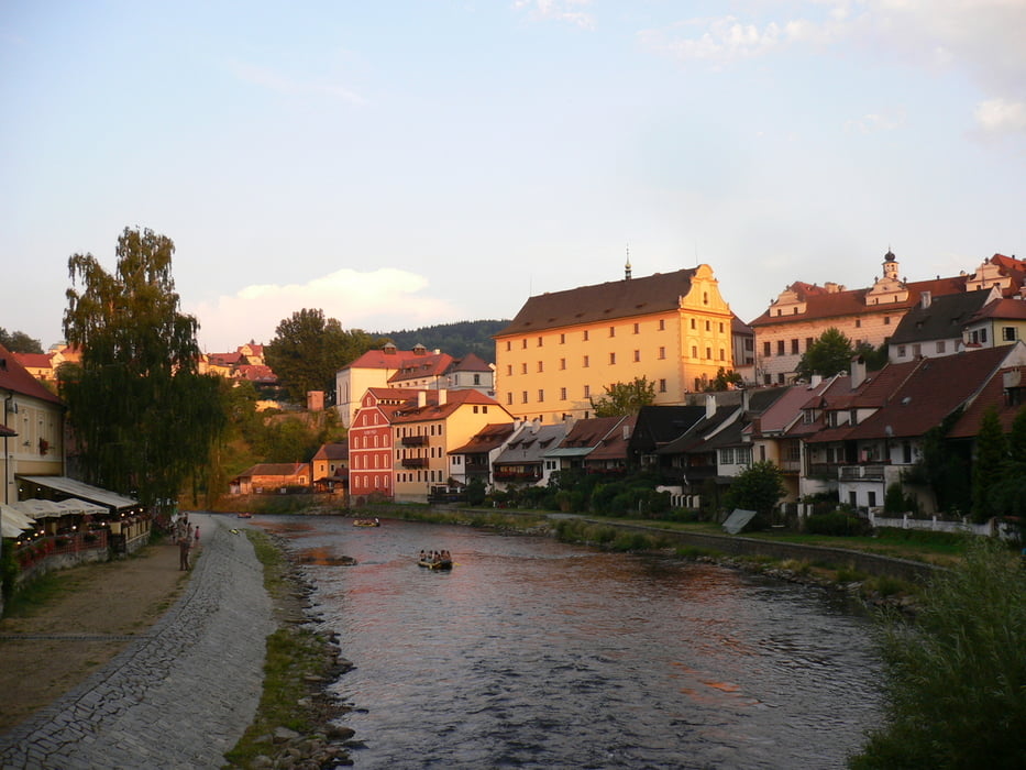
Galeria trasy

Mapa trasy i profil wysokości

  • Open Street Map
  • Google
Minimum height 495 m Maximum height 836 m Widok szczegółowy

More about the tour author

Hoar
Member since 2009

Send private message

Komentarze

GPS tracks

Trackpoints
  • GPX / Garmin Map Source (gpx) download
  • TCX / Garmin Training Center® (tcx) download
  • CRS / Garmin Training Center® (crs) download
  • Google Earth (kml) download
  • G7ToWin (g7t) download
  • TTQV (trk) download
  • Overlay (ovl) download
  • Fugawi (txt) download
  • Kompass (DAV) Track (tk) download
  • Karta trasy (pdf) download
  • Original file of the author (gpx) download

More about the tour author

Hoar
Member since 2009

Send private message
Share track
Add to my favorites
Remove from my favorites
Edit tags
My score
Rate
Trasa: Krumau Rohrbach Teil 2
Rodzaj: Rower górski (MTB)
Długość: 57,4 km
Evaluated on:
Czas trwania:
Day(s)
Hour(s)
Minute(s)
Ocena: Krajobraz Czynnik zadowolenia Kondycja Technika