


Die Zwei Hägebrückentour
Start am Sachsenrieder Weiher, Runter zur Hängebrücke bei Fischers und auf der anderen Seite wieder hoch.
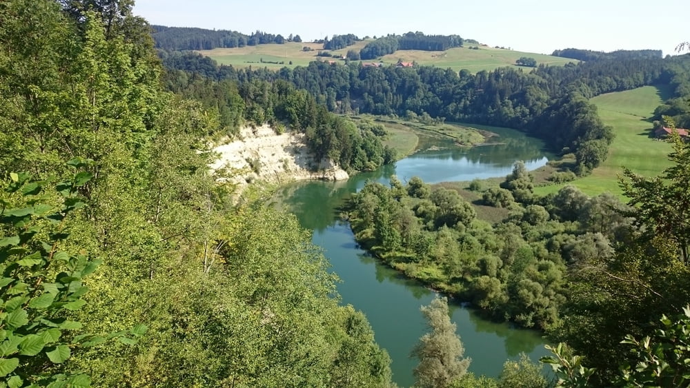
Unbedingt Abstecher zum Illerdurchbruch mitmachen (siehe Route)! Weiter Über Neumühle nach Norden. Wer Hunger auf Gockel hat kann einen extra Abstecher nach Bettrichs machen.
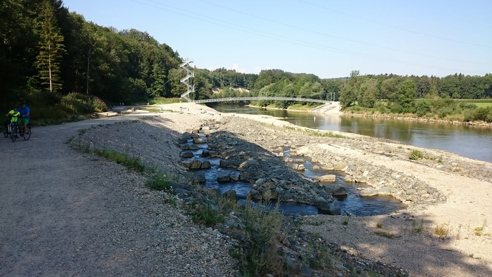
Bei Graben geht es runter zum Iller-Erlebnissteg und bei Oberbinnswang dann wieder in Richtung Süden.
Wer Eis in der urigsten Eisdiele des Allgäus essen will kann noch einen Abstecher nach Herbisried machen (Siehe meine Tour Iller-Erlebnissteg, diese führt über Herbisried).
Galeria trasy
Mapa trasy i profil wysokości
Minimum height 606 m
Maximum height 757 m
More about the tour author

|
toni5608 |
Komentarze

GPS tracks
Trackpoints-
GPX / Garmin Map Source (gpx) download
-
TCX / Garmin Training Center® (tcx) download
-
CRS / Garmin Training Center® (crs) download
-
Google Earth (kml) download
-
G7ToWin (g7t) download
-
TTQV (trk) download
-
Overlay (ovl) download
-
Fugawi (txt) download
-
Kompass (DAV) Track (tk) download
-
Karta trasy (pdf) download
-
Original file of the author (gpx) download
More about the tour author
|
|
toni5608 |
Add to my favorites
Remove from my favorites
Edit tags
Open track
My score
Rate