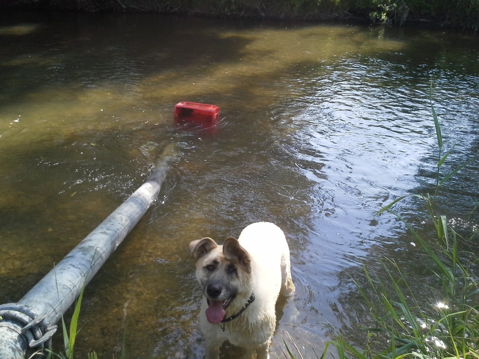
Von den Kaiser Auslässen bei Achau ging es die Triesting sozusagen Stromaufwärts immer schön dem Ufer entlang.
Zwischendurch nahm der Wandershund mehrmals eine Abkühlung und wir wanderten bis zur Brücke beim Triesting-Radweg wo wir auf die andere Seite wechselten und es ging mit einigen Badestopps zurück zum Auto.
Further information at
http://www.suedheide.at/region.htmlGaleria trasy
Mapa trasy i profil wysokości
Minimum height 21 m
Maximum height 194 m
Komentarze

über die B 16 bis nach Achau nach dem Kreisverkehr Richtung Münchendorf und die erste Gasse nach dem Kreisverkehr links und dann weiter bis zum ende der Strasse.
GPS tracks
Trackpoints-
GPX / Garmin Map Source (gpx) download
-
TCX / Garmin Training Center® (tcx) download
-
CRS / Garmin Training Center® (crs) download
-
Google Earth (kml) download
-
G7ToWin (g7t) download
-
TTQV (trk) download
-
Overlay (ovl) download
-
Fugawi (txt) download
-
Kompass (DAV) Track (tk) download
-
Karta trasy (pdf) download
-
Original file of the author (gpx) download
Add to my favorites
Remove from my favorites
Edit tags
Open track
My score
Rate


