Login

Zapomniałeś swój login?

Cookies have to be accepted!
Your browser's cookie functionality is disabled. Please enable this functionality.

Not a member yet?

Register now
Login

Available for registred users only

Log in to use this feature.

Zapomniałeś swój login?

Cookies have to be accepted!
Your browser's cookie functionality is disabled. Please enable this functionality.

Not a member yet?

Register now
Filter
Kategorie
Advanced filters
  • Długość (km)
  • Wysokość
Zapisz filtr Reset filter

TrackRank

QRCode

Technical data

Długość31,1 km Wysokość1211 m Way down1231 m Czas trwania03:00 h:m Data10.08.2015
Oceny Author Krajobraz Czynnik zadowolenia Kondycja Technika

Statystyka

263 Widoki Oceny 53 Downloads / Pliki do pobrania Przeciętnie
Rate
  • Karta trasy
  • Dojazd
  • Downloads / Pliki do pobrania
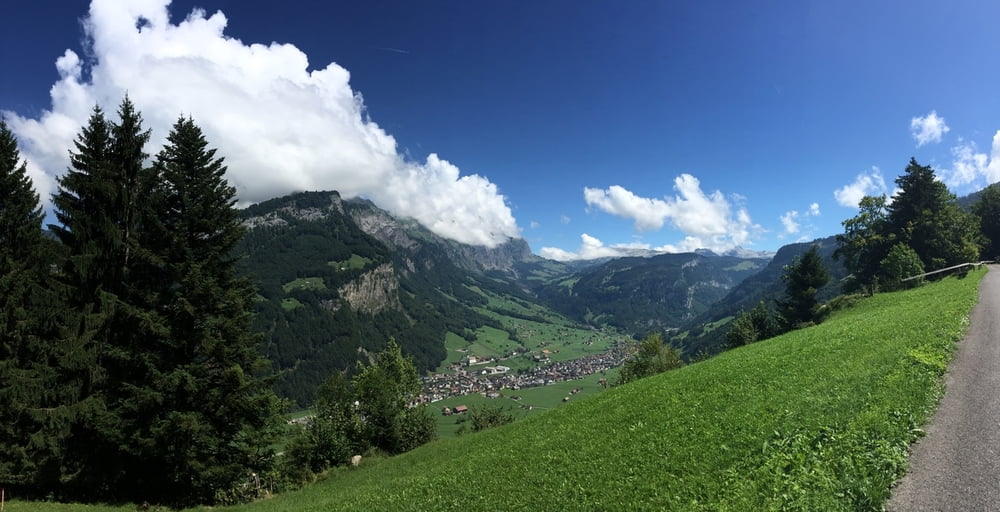
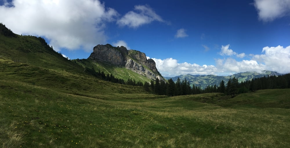
Die Tour verläuft vom Parkplatz der Stoss-Standseilbahn "Schlattli" zuerst dem Talverlauf entlang. Anschliessend Aufstieg abwechselnd über Asphalt und Schotter. Vor dem Wannentritt kurze Schiebepassage. Anschliessend herllicher Downhill auf Forststrasse nach Stoss und über Zubringerstrasse zurück in das Muotatal

Galeria trasy

Mapa trasy i profil wysokości

  • Open Street Map
  • Google
Minimum height 545 m Maximum height 1625 m Widok szczegółowy

More about the tour author

oberschlumpf
Member since 2010

Send private message

Komentarze

Über Autobahn nach Brunnen, anschliessend Beschilderung nach Stoos folgen

GPS tracks

Trackpoints
  • GPX / Garmin Map Source (gpx) download
  • TCX / Garmin Training Center® (tcx) download
  • CRS / Garmin Training Center® (crs) download
  • Google Earth (kml) download
  • G7ToWin (g7t) download
  • TTQV (trk) download
  • Overlay (ovl) download
  • Fugawi (txt) download
  • Kompass (DAV) Track (tk) download
  • Karta trasy (pdf) download
  • Original file of the author (gpx) download

More about the tour author

oberschlumpf
Member since 2010

Send private message
Share track
Add to my favorites
Remove from my favorites
Edit tags
My score
Rate
Trasa: Muothatal - Wannentritt - Stoss
Rodzaj: Rower górski (MTB)
Długość: 31,1 km
Evaluated on:
Czas trwania:
Day(s)
Hour(s)
Minute(s)
Ocena: Krajobraz Czynnik zadowolenia Kondycja Technika