Login

Zapomniałeś swój login?

Cookies have to be accepted!
Your browser's cookie functionality is disabled. Please enable this functionality.

Not a member yet?

Register now
Login

Available for registred users only

Log in to use this feature.

Zapomniałeś swój login?

Cookies have to be accepted!
Your browser's cookie functionality is disabled. Please enable this functionality.

Not a member yet?

Register now
Filter
Kategorie
Advanced filters
  • Długość (km)
  • Wysokość
Zapisz filtr Reset filter

TrackRank

QRCode

Technical data

Długość11,3 km Wysokość580 m Way down483 m Czas trwania04:17 h:m Data12.08.2015
Oceny Author Krajobraz Czynnik zadowolenia Kondycja Technika

Statystyka

215 Widoki Oceny 12 Downloads / Pliki do pobrania Przeciętnie
Rate
  • Karta trasy
  • Dojazd
  • Downloads / Pliki do pobrania

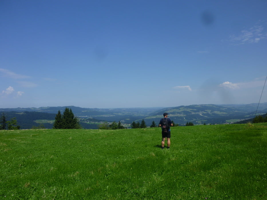
Schöne Tour von Alberschwende aus in Richtung Geisskopf und Brüggelekopf.

Am Brüggelekopf geht dann der Solo-Sessellift hinunter zur Talstation in Alberschwende.


Galeria trasy

Mapa trasy i profil wysokości

  • Open Street Map
  • Google
Minimum height 677 m Maximum height 1180 m Widok szczegółowy

More about the tour author

Guddy
Member since 2009

Send private message

Komentarze

GPS tracks

Trackpoints
  • GPX / Garmin Map Source (gpx) download
  • TCX / Garmin Training Center® (tcx) download
  • CRS / Garmin Training Center® (crs) download
  • Google Earth (kml) download
  • G7ToWin (g7t) download
  • TTQV (trk) download
  • Overlay (ovl) download
  • Fugawi (txt) download
  • Kompass (DAV) Track (tk) download
  • Karta trasy (pdf) download
  • Original file of the author (gpx) download

More about the tour author

Guddy
Member since 2009

Send private message
Share track
Add to my favorites
Remove from my favorites
Edit tags
My score
Rate
Trasa: Rundtour Alberschwende
Rodzaj: Wędrówki
Długość: 11,3 km
Evaluated on:
Czas trwania:
Day(s)
Hour(s)
Minute(s)
Ocena: Krajobraz Czynnik zadowolenia Kondycja Technika